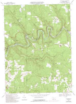
Cooksburg Topo Map Pennsylvania
To zoom in, hover over the map of Cooksburg
USGS Topo Quad 41079c2 - 1:24,000 scale
| Topo Map Name: | Cooksburg |
| USGS Topo Quad ID: | 41079c2 |
| Print Size: | ca. 21 1/4" wide x 27" high |
| Southeast Coordinates: | 41.25° N latitude / 79.125° W longitude |
| Map Center Coordinates: | 41.3125° N latitude / 79.1875° W longitude |
| U.S. State: | PA |
| Filename: | o41079c2.jpg |
| Download Map JPG Image: | Cooksburg topo map 1:24,000 scale |
| Map Type: | Topographic |
| Topo Series: | 7.5´ |
| Map Scale: | 1:24,000 |
| Source of Map Images: | United States Geological Survey (USGS) |
| Alternate Map Versions: |
Cooksburg PA 1967, updated 1971 Download PDF Buy paper map Cooksburg PA 1967, updated 1973 Download PDF Buy paper map Cooksburg PA 1967, updated 1976 Download PDF Buy paper map Cooksburg PA 1967, updated 1993 Download PDF Buy paper map Cooksburg PA 1967, updated 1993 Download PDF Buy paper map Cooksburg PA 2010 Download PDF Buy paper map Cooksburg PA 2013 Download PDF Buy paper map Cooksburg PA 2016 Download PDF Buy paper map |
1:24,000 Topo Quads surrounding Cooksburg
> Back to 41079a1 at 1:100,000 scale
> Back to 41078a1 at 1:250,000 scale
> Back to U.S. Topo Maps home
Cooksburg topo map: Gazetteer
Cooksburg: Islands
Hemlock Island elevation 368m 1207′Cooksburg: Parks
Cook Forest State Park elevation 440m 1443′State Game Lands Number 283 elevation 489m 1604′
Cooksburg: Populated Places
Cook Tomb elevation 414m 1358′Cooksburg elevation 369m 1210′
Ella elevation 494m 1620′
Fisher elevation 496m 1627′
Gravel Lick elevation 371m 1217′
Hominy Ridge elevation 490m 1607′
Hottelville elevation 493m 1617′
Kahletown elevation 564m 1850′
Turkey Ridge elevation 468m 1535′
Cooksburg: Ridges
Hominy Ridge elevation 501m 1643′Rankin Ridge elevation 545m 1788′
Cooksburg: Springs
Slocum Spring elevation 413m 1354′Cooksburg: Streams
Beer Run elevation 481m 1578′Black Run elevation 446m 1463′
Browns Run elevation 398m 1305′
Cathers Run elevation 348m 1141′
Cherry Run elevation 365m 1197′
Clawson Run elevation 383m 1256′
Coleman Run elevation 362m 1187′
Fowler Run elevation 472m 1548′
Hefren Run elevation 393m 1289′
Henry Run elevation 367m 1204′
Henry Run elevation 362m 1187′
Irwin Run elevation 443m 1453′
Kahle Run elevation 406m 1332′
Little Hefren Run elevation 422m 1384′
Maple Creek elevation 404m 1325′
Printer Run elevation 441m 1446′
Seaton Run elevation 427m 1400′
Toms Run elevation 355m 1164′
Toomey Run elevation 417m 1368′
Troutman Run elevation 372m 1220′
Cooksburg: Summits
Fitzgerald Hill elevation 496m 1627′Gumbert Hill elevation 545m 1788′
Hetrick Hill elevation 528m 1732′
Kahletown Hill elevation 567m 1860′
Maze Hill elevation 520m 1706′
Shawkey Hill elevation 557m 1827′
Songer Hill elevation 579m 1899′
Thompson Hill elevation 492m 1614′
Zagst Hill elevation 525m 1722′
Cooksburg digital topo map on disk
Buy this Cooksburg topo map showing relief, roads, GPS coordinates and other geographical features, as a high-resolution digital map file on DVD:


