Jefferson Topo Map Ohio
To zoom in, hover over the map of Jefferson
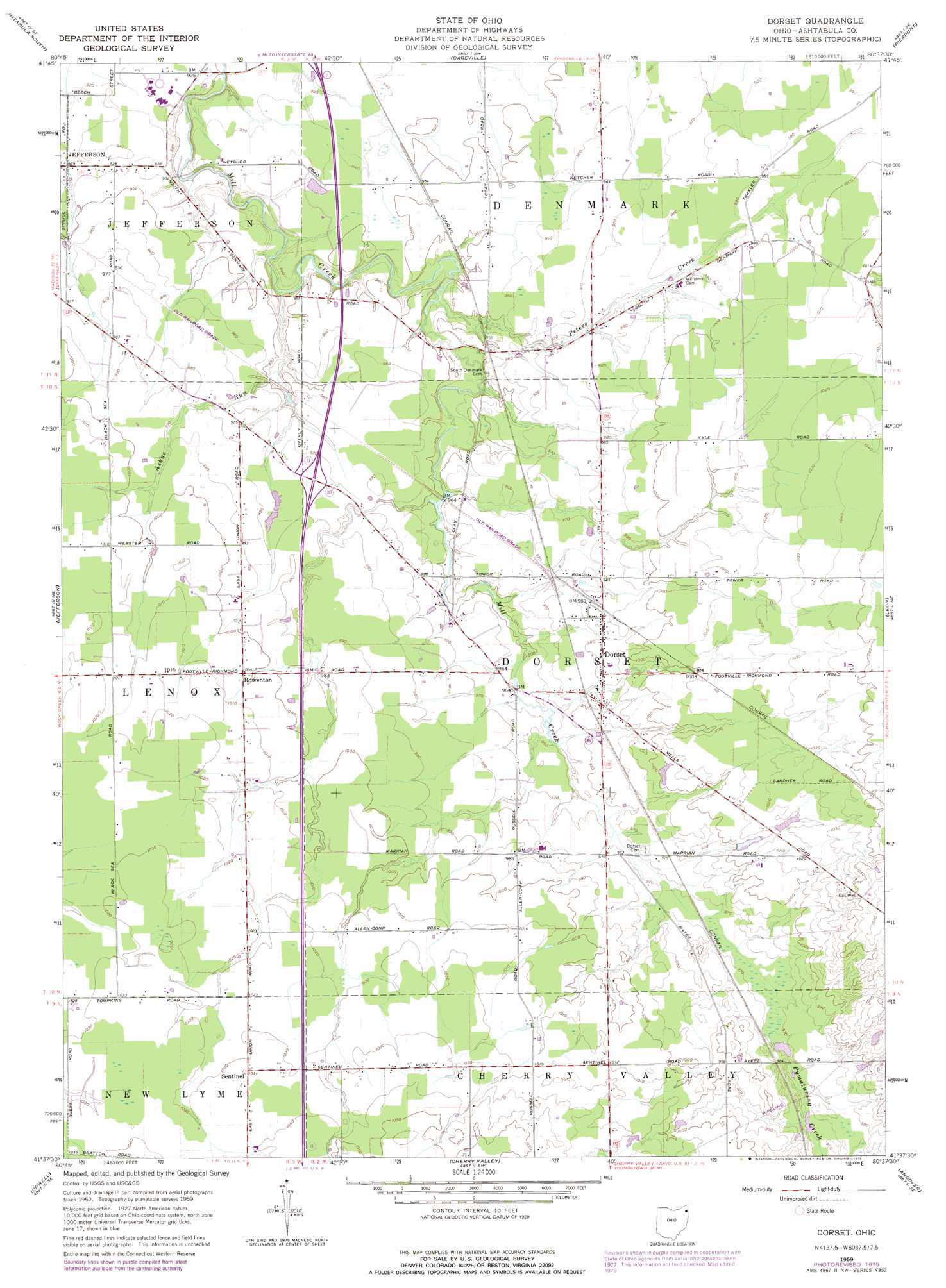
USGS Topo Quad 41080f7 - 1:24,000 scale
| Topo Map Name: | Jefferson |
| USGS Topo Quad ID: | 41080f7 |
| Print Size: | ca. 21 1/4" wide x 27" high |
| Southeast Coordinates: | 41.625° N latitude / 80.75° W longitude |
| Map Center Coordinates: | 41.6875° N latitude / 80.8125° W longitude |
| U.S. State: | OH |
| Filename: | o41080f7.jpg |
| Download Map JPG Image: | Jefferson topo map 1:24,000 scale |
| Map Type: | Topographic |
| Topo Series: | 7.5´ |
| Map Scale: | 1:24,000 |
| Source of Map Images: | United States Geological Survey (USGS) |
| Alternate Map Versions: |
Jefferson OH 1960, updated 1962 Download PDF Buy paper map Jefferson OH 1960, updated 1970 Download PDF Buy paper map Jefferson OH 1960, updated 1985 Download PDF Buy paper map Jefferson OH 1994, updated 1997 Download PDF Buy paper map Jefferson OH 2010 Download PDF Buy paper map Jefferson OH 2013 Download PDF Buy paper map Jefferson OH 2016 Download PDF Buy paper map |
1:24,000 Topo Quads surrounding Jefferson
Ashtabula North |
North Kingsville |
Conneaut |
||
Madison |
Geneva |
Ashtabula South |
Gageville |
Pierpont |
Thompson |
East Trumbull |
Jefferson |
Dorset |
Leon |
East Claridon |
Windsor |
Orwell |
Cherry Valley |
Andover |
Middlefield |
West Farmington |
Bristolville |
Gustavus |
Kinsman |
> Back to 41080e1 at 1:100,000 scale
> Back to 41080a1 at 1:250,000 scale
> Back to U.S. Topo Maps home
Jefferson topo map: Gazetteer
Jefferson: Bridges
Riverdale Bridge elevation 236m 774′Jefferson: Dams
Kleinienst Lake Dam elevation 266m 872′Reuschling Pond Dam elevation 303m 994′
Roaming Rock Shores Lake Dam elevation 251m 823′
Skidmore Lake Dam elevation 276m 905′
Jefferson: Populated Places
Cold Springs elevation 234m 767′D F C Mobile Home Park elevation 308m 1010′
Eagleville elevation 247m 810′
Jefferson elevation 292m 958′
Lenox Center elevation 305m 1000′
Rays Corners elevation 291m 954′
Roaming Shores elevation 265m 869′
Rock Creek elevation 245m 803′
Turkey Foot Corner elevation 255m 836′
Jefferson: Post Offices
Jefferson Post Office elevation 292m 958′Rock Creek Post Office elevation 244m 800′
Saybrook Post Office (historical) elevation 243m 797′
Jefferson: Reservoirs
Kleinienst Lake elevation 266m 872′Lake Roaming Rock elevation 255m 836′
Reuschling Pond elevation 303m 994′
Roaming Rock Shores Lake elevation 251m 823′
Skidmore Lake elevation 276m 905′
Jefferson: Streams
Badger Run elevation 233m 764′Mill Creek elevation 231m 757′
Plum Creek elevation 262m 859′
Rock Creek elevation 234m 767′
Sugar Creek elevation 257m 843′
Jefferson digital topo map on disk
Buy this Jefferson topo map showing relief, roads, GPS coordinates and other geographical features, as a high-resolution digital map file on DVD:
 map DVD")