Palmyra Topo Map Michigan
To zoom in, hover over the map of Palmyra
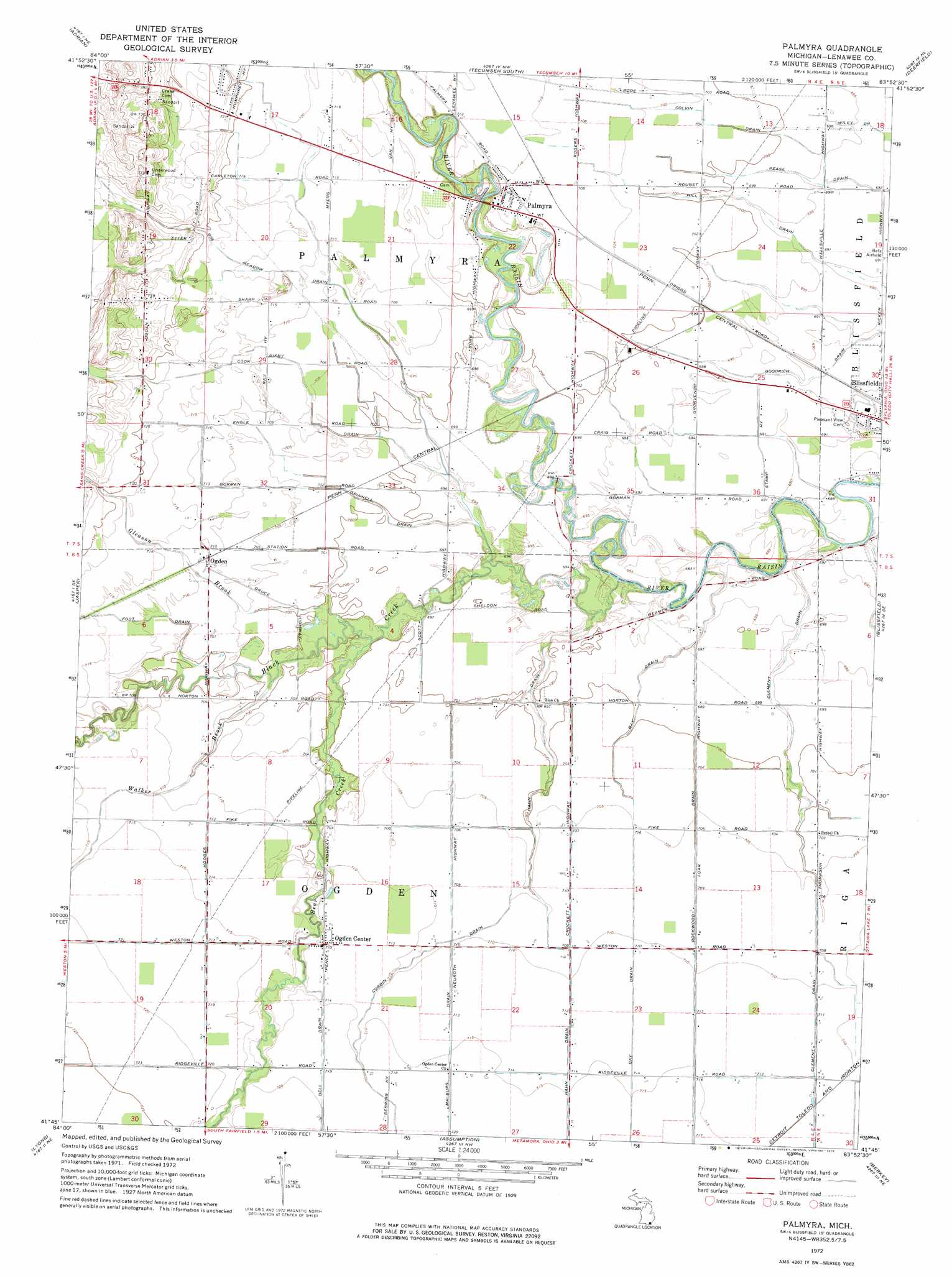
USGS Topo Quad 41083g8 - 1:24,000 scale
| Topo Map Name: | Palmyra |
| USGS Topo Quad ID: | 41083g8 |
| Print Size: | ca. 21 1/4" wide x 27" high |
| Southeast Coordinates: | 41.75° N latitude / 83.875° W longitude |
| Map Center Coordinates: | 41.8125° N latitude / 83.9375° W longitude |
| U.S. State: | MI |
| Filename: | o41083g8.jpg |
| Download Map JPG Image: | Palmyra topo map 1:24,000 scale |
| Map Type: | Topographic |
| Topo Series: | 7.5´ |
| Map Scale: | 1:24,000 |
| Source of Map Images: | United States Geological Survey (USGS) |
| Alternate Map Versions: |
Palmyra MI 1972, updated 1975 Download PDF Buy paper map Palmyra MI 2011 Download PDF Buy paper map Palmyra MI 2014 Download PDF Buy paper map Palmyra MI 2016 Download PDF Buy paper map |
1:24,000 Topo Quads surrounding Palmyra
Onsted |
Tipton |
Tecumseh North |
Macon |
Milan |
Rome Center |
Adrian |
Tecumseh South |
Deerfield |
Dundee |
Clayton |
Jasper |
Palmyra |
Blissfield |
Lambertville West |
Morenci |
Lyons |
Assumption |
Berkey |
Sylvania |
Wauseon |
Delta |
Swanton |
Whitehouse |
Maumee |
> Back to 41083e1 at 1:100,000 scale
> Back to 41082a1 at 1:250,000 scale
> Back to U.S. Topo Maps home
Palmyra topo map: Gazetteer
Palmyra: Canals
Bay Drain elevation 212m 695′Bell Drain elevation 218m 715′
Bixby Drain elevation 215m 705′
Clement Drain elevation 216m 708′
Colvin Drain elevation 214m 702′
Corbin Drain elevation 215m 705′
Goodrich Drain elevation 210m 688′
Grinnell Drain elevation 212m 695′
Hahn Drain elevation 216m 708′
Malburg Drain elevation 216m 708′
Rockwood Drain elevation 214m 702′
Palmyra: Parks
Palmyra Presbyterian Church Historical Marker elevation 215m 705′Palmyra: Populated Places
Coach Light Estates Mobile Home Park elevation 212m 695′Ogden elevation 216m 708′
Ogden Center elevation 216m 708′
Palmyra elevation 215m 705′
Palmyra: Post Offices
Grosvenor Post Office (historical) elevation 212m 695′Ogden Center Post Office (historical) elevation 216m 708′
Ogden Post Office (historical) elevation 216m 708′
Palmyra Post Office elevation 215m 705′
Victorsville Post Office (historical) elevation 213m 698′
West Ogden Post Office (historical) elevation 214m 702′
Palmyra: Streams
Bear Creek elevation 210m 688′Big Meadow Drain elevation 210m 688′
Black Creek elevation 207m 679′
Foot Drain elevation 212m 695′
Gleason Brook elevation 212m 695′
Walker Brook elevation 211m 692′
Palmyra digital topo map on disk
Buy this Palmyra topo map showing relief, roads, GPS coordinates and other geographical features, as a high-resolution digital map file on DVD:
 map DVD")