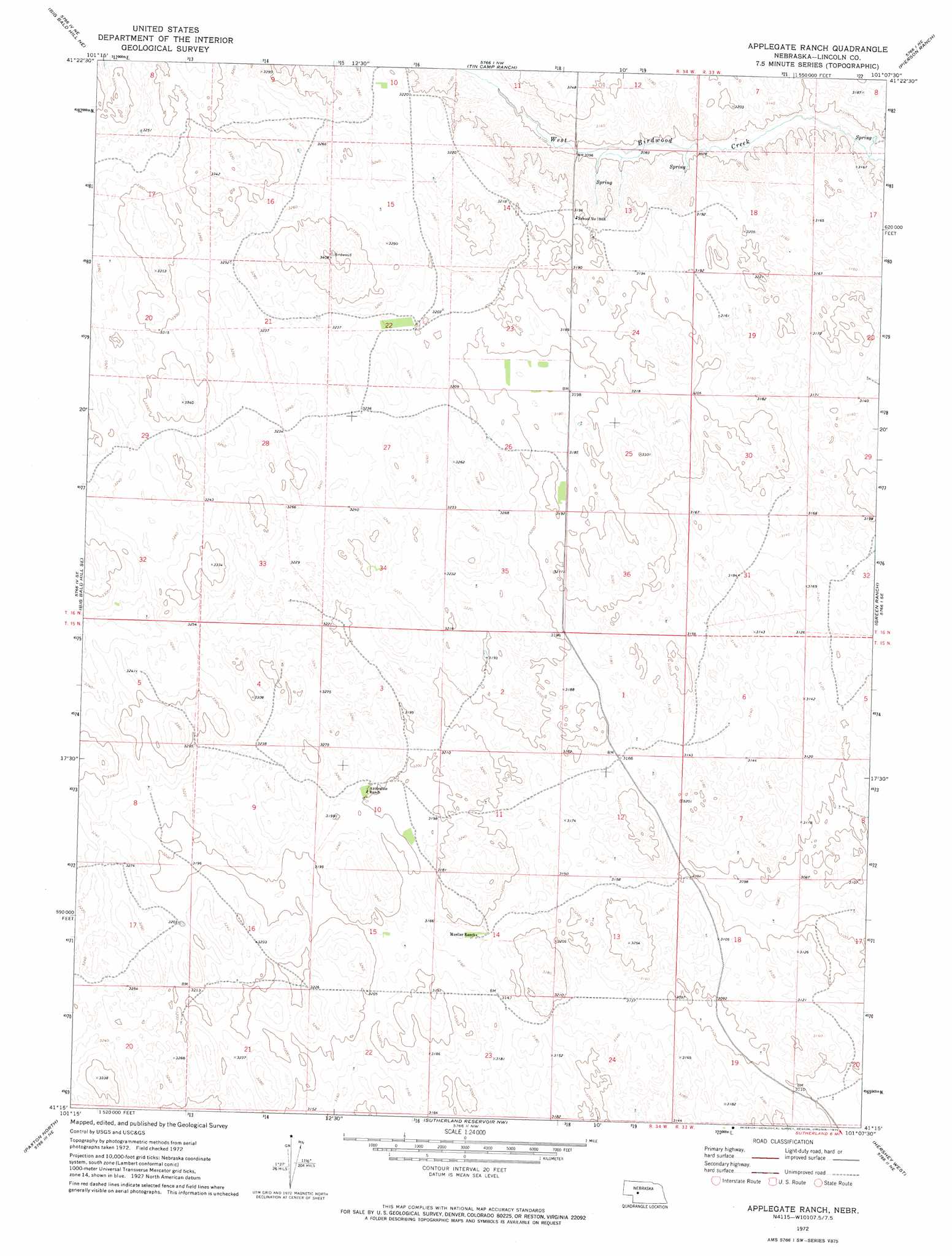
Applegate Ranch Topo Map Nebraska
To zoom in, hover over the map of Applegate Ranch
USGS Topo Quad 41101c2 - 1:24,000 scale
| Topo Map Name: | Applegate Ranch |
| USGS Topo Quad ID: | 41101c2 |
| Print Size: | ca. 21 1/4" wide x 27" high |
| Southeast Coordinates: | 41.25° N latitude / 101.125° W longitude |
| Map Center Coordinates: | 41.3125° N latitude / 101.1875° W longitude |
| U.S. State: | NE |
| Filename: | O41101c2.jpg |
| Download Map JPG Image: | Applegate Ranch topo map 1:24,000 scale |
| Map Type: | Topographic |
| Topo Series: | 7.5´ |
| Map Scale: | 1:24,000 |
| Source of Map Images: | United States Geological Survey (USGS) |
| Alternate Map Versions: |
Applegate Ranch NE 1972, updated 1975 Download PDF Buy paper map Applegate Ranch NE 2011 Download PDF Buy paper map Applegate Ranch NE 2014 Download PDF Buy paper map |
1:24,000 Topo Quads surrounding Applegate Ranch
Bucktail |
Flats |
Snyder Lake |
Schneringer Valley |
Tryon |
Bucktail Lake |
Big Bald Hill Ne |
Tin Camp Ranch |
Pierson Ranch |
North Platte 2 Nw |
Big Bald Hill |
Big Bald Hill Se |
Applegate Ranch |
Green Ranch |
North Platte 2 Sw |
Nevens |
Paxton North |
Sutherland Reservoir Nw |
Hershey West |
Hershey East |
Paxton Sw |
Paxton South |
Sutherland Reservoir West |
Sutherland Reservoir East |
North Platte Sw |
> Back to 41101a1 at 1:100,000 scale
> Back to 41100a1 at 1:250,000 scale
> Back to U.S. Topo Maps home
No gazetteer data is available for the Applegate Ranch topo map sheet.
Applegate Ranch digital topo map on disk
Buy this Applegate Ranch topo map showing relief, roads, GPS coordinates and other geographical features, as a high-resolution digital map file on DVD: