Sidney Municipal Airport Topo Map Nebraska
To zoom in, hover over the map of Sidney Municipal Airport
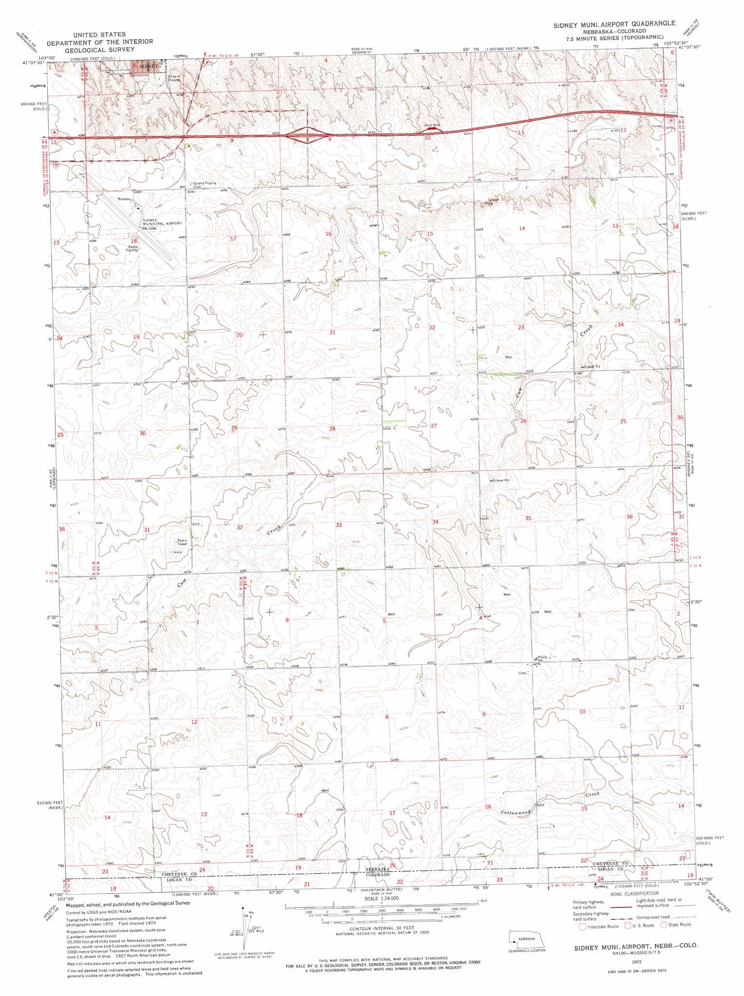
USGS Topo Quad 41102a8 - 1:24,000 scale
| Topo Map Name: | Sidney Municipal Airport |
| USGS Topo Quad ID: | 41102a8 |
| Print Size: | ca. 21 1/4" wide x 27" high |
| Southeast Coordinates: | 41° N latitude / 102.875° W longitude |
| Map Center Coordinates: | 41.0625° N latitude / 102.9375° W longitude |
| U.S. States: | NE, CO |
| Filename: | O41102A8.jpg |
| Download Map JPG Image: | Sidney Municipal Airport topo map 1:24,000 scale |
| Map Type: | Topographic |
| Topo Series: | 7.5´ |
| Map Scale: | 1:24,000 |
| Source of Map Images: | United States Geological Survey (USGS) |
| Alternate Map Versions: |
Sidney Muni. Airport NE 1972, updated 1976 Download PDF Buy paper map Sidney Municipal Airport NE 2010 Download PDF Buy paper map Sidney Municipal Airport NE 2011 Download PDF Buy paper map Sidney Municipal Airport NE 2014 Download PDF Buy paper map |
1:24,000 Topo Quads surrounding Sidney Municipal Airport
Mud Springs Sw |
Mud Springs Se |
Gurley |
Dalton Se |
Lisco Sw |
Point Of Rocks |
Brownson |
Sidney |
Sunol |
Lodgepole |
Easterly Airport |
Lorenzo |
Sidney Municipal Airport |
Sidney Se |
Lodgepole Sw |
Padroni Nw |
Peetz |
Haystack Butte |
Twin Buttes |
Julesburg Reservoir |
Padroni |
Iliff |
Proctor |
Crook |
Tamarack Ranch |
> Back to 41102a1 at 1:100,000 scale
> Back to 41102a1 at 1:250,000 scale
> Back to U.S. Topo Maps home
Sidney Municipal Airport topo map: Gazetteer
Sidney Municipal Airport: Airports
Fehringer Aerodrome elevation 1305m 4281′Sidney Municipal Airport elevation 1308m 4291′
Sidney Municipal Airport: Crossings
Interchange 59 elevation 1297m 4255′Sidney Municipal Airport: Dams
Ruther Dam elevation 1267m 4156′Verde Lane Dam elevation 1278m 4192′
Sidney Municipal Airport: Parks
Sidney - Cheyenne County Historical Marker elevation 1290m 4232′Sidney Municipal Airport: Reservoirs
Ruther Reservoir elevation 1267m 4156′Verde Reservoir elevation 1278m 4192′
Sidney Municipal Airport digital topo map on disk
Buy this Sidney Municipal Airport topo map showing relief, roads, GPS coordinates and other geographical features, as a high-resolution digital map file on DVD:
Eastern Wyoming & Western South Dakota
Buy digital topo maps: Eastern Wyoming & Western South Dakota