Lewellen Topo Map Nebraska
To zoom in, hover over the map of Lewellen
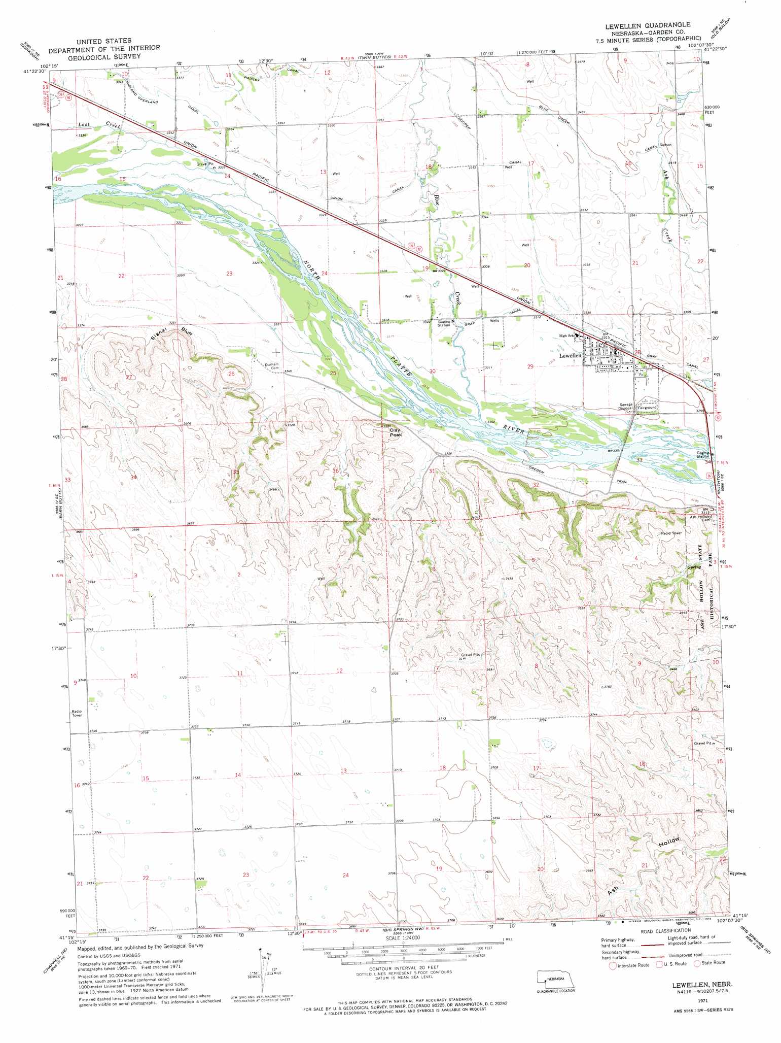
USGS Topo Quad 41102c2 - 1:24,000 scale
| Topo Map Name: | Lewellen |
| USGS Topo Quad ID: | 41102c2 |
| Print Size: | ca. 21 1/4" wide x 27" high |
| Southeast Coordinates: | 41.25° N latitude / 102.125° W longitude |
| Map Center Coordinates: | 41.3125° N latitude / 102.1875° W longitude |
| U.S. State: | NE |
| Filename: | O41102C2.jpg |
| Download Map JPG Image: | Lewellen topo map 1:24,000 scale |
| Map Type: | Topographic |
| Topo Series: | 7.5´ |
| Map Scale: | 1:24,000 |
| Source of Map Images: | United States Geological Survey (USGS) |
| Alternate Map Versions: |
Lewellen NE 1971, updated 1974 Download PDF Buy paper map Lewellen NE 2011 Download PDF Buy paper map Lewellen NE 2014 Download PDF Buy paper map |
1:24,000 Topo Quads surrounding Lewellen
Sugar Loaf Hill |
Crescent Lake Se |
Gusher Spring |
Rackett Se |
Velma Sw |
Coumbe Bluff |
Oshkosh |
Twin Buttes |
Old Baldy |
Williams Ranch |
Oskosh Sw |
Barn Butte |
Lewellen |
Ruthton |
Belmar |
Chappell Nw |
Chappell Ne |
Big Springs Nw |
Big Springs Ne |
Brule Nw |
Chappell |
Chappell Se |
Barton |
Big Springs |
Brule |
> Back to 41102a1 at 1:100,000 scale
> Back to 41102a1 at 1:250,000 scale
> Back to U.S. Topo Maps home
Lewellen topo map: Gazetteer
Lewellen: Canals
Blue Creek Canal elevation 1037m 3402′Hooper Canal elevation 1025m 3362′
Midland Overland Canal elevation 1025m 3362′
Union Canal elevation 1019m 3343′
Lewellen: Cliffs
Signal Bluff elevation 1032m 3385′Lewellen: Parks
Battle of Blue Water Historical Marker elevation 1016m 3333′Lewellen: Populated Places
Lewellen elevation 1011m 3316′Lewellen: Post Offices
Lewellen Post Office elevation 1011m 3316′Lewellen: Streams
Blue Creek elevation 1009m 3310′Lost Creek elevation 1015m 3330′
Lewellen: Summits
Clay Peak elevation 1074m 3523′Lewellen digital topo map on disk
Buy this Lewellen topo map showing relief, roads, GPS coordinates and other geographical features, as a high-resolution digital map file on DVD:
Eastern Wyoming & Western South Dakota
Buy digital topo maps: Eastern Wyoming & Western South Dakota