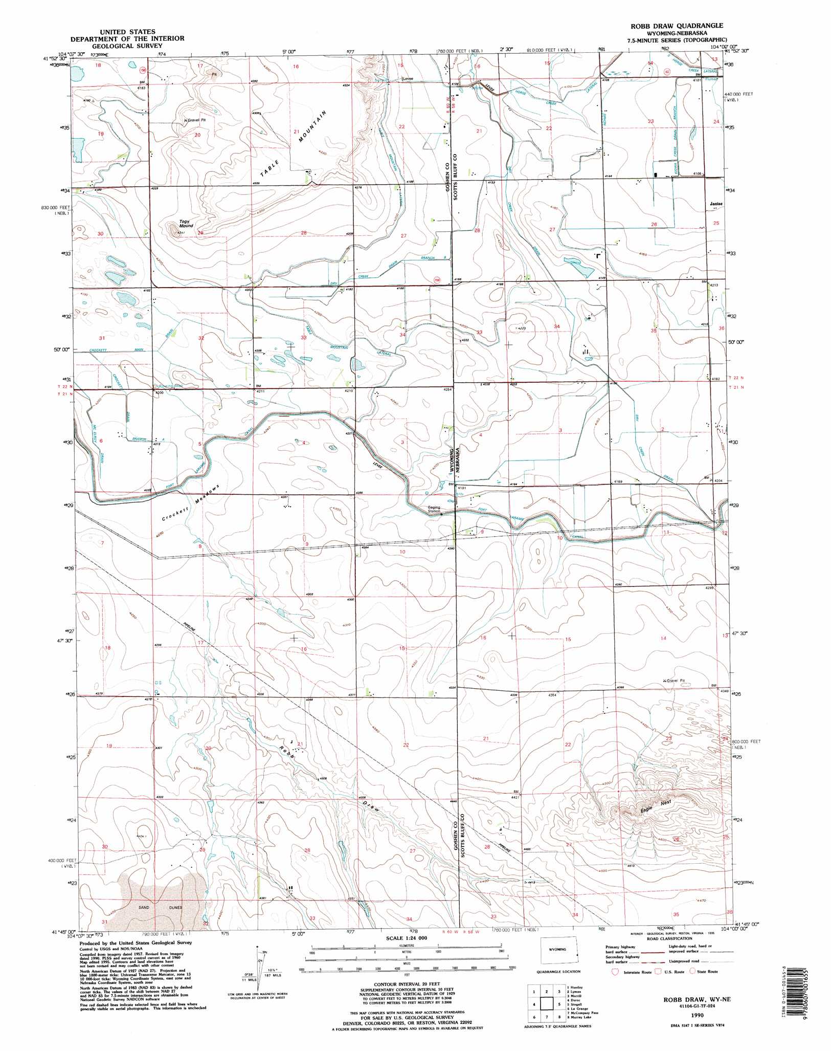
Robb Draw Topo Map Wyoming
To zoom in, hover over the map of Robb Draw
USGS Topo Quad 41104g1 - 1:24,000 scale
| Topo Map Name: | Robb Draw |
| USGS Topo Quad ID: | 41104g1 |
| Print Size: | ca. 21 1/4" wide x 27" high |
| Southeast Coordinates: | 41.75° N latitude / 104° W longitude |
| Map Center Coordinates: | 41.8125° N latitude / 104.0625° W longitude |
| U.S. States: | WY, NE |
| Filename: | o41104g1.jpg |
| Download Map JPG Image: | Robb Draw topo map 1:24,000 scale |
| Map Type: | Topographic |
| Topo Series: | 7.5´ |
| Map Scale: | 1:24,000 |
| Source of Map Images: | United States Geological Survey (USGS) |
| Alternate Map Versions: |
Robb Draw WY 1960, updated 1962 Download PDF Buy paper map Robb Draw WY 1960, updated 1975 Download PDF Buy paper map Robb Draw WY 1960, updated 1983 Download PDF Buy paper map Robb Draw WY 1990, updated 1995 Download PDF Buy paper map Robb Draw WY 2012 Download PDF Buy paper map Robb Draw WY 2015 Download PDF Buy paper map |
1:24,000 Topo Quads surrounding Robb Draw
Cottier |
Torrington |
Torrington Se |
Dry Sheep Creek |
Erdman Ranch |
Yoder |
Huntley |
Lyman |
Morrill |
Mitchell |
Hawk Springs |
Duroc |
Robb Draw |
Stegall |
Roubadeau Pass |
Kessler Gap |
La Grange |
Mccompsey Pass |
Murray Lake |
Murray Lake Ne |
Meriden |
Petsch Reservoir |
Tremain |
Murray Lake Sw |
Gabe Rock |
> Back to 41104e1 at 1:100,000 scale
> Back to 41104a1 at 1:250,000 scale
> Back to U.S. Topo Maps home
Robb Draw topo map: Gazetteer
Robb Draw: Canals
Crockett Drain elevation 1284m 4212′Dry Creek Drain elevation 1264m 4146′
Dry Creek Drain Branch B elevation 1270m 4166′
Fort Laramie Canal elevation 1287m 4222′
Glenn Drain elevation 1256m 4120′
Kiowa Creek Drain Branch elevation 1250m 4101′
McElroy Drain elevation 1281m 4202′
South Horse Creek Lateral elevation 1251m 4104′
Table Mountain Lateral elevation 1274m 4179′
Robb Draw: Cliffs
Eagle Nest elevation 1446m 4744′Robb Draw: Dams
Kaufman Number 1 Dam elevation 1323m 4340′Robb Draw: Flats
Crockett Meadows elevation 1292m 4238′Robb Draw: Populated Places
Janise elevation 1255m 4117′Robb Draw: Reservoirs
Kaufman Number 1 Reservoir elevation 1323m 4340′Robb Draw: Summits
Togy Mound elevation 1312m 4304′Robb Draw: Valleys
Robb Draw elevation 1305m 4281′Robb Draw elevation 1298m 4258′
Robb Draw digital topo map on disk
Buy this Robb Draw topo map showing relief, roads, GPS coordinates and other geographical features, as a high-resolution digital map file on DVD:
Eastern Wyoming & Western South Dakota
Buy digital topo maps: Eastern Wyoming & Western South Dakota