Glomill Reservoir Topo Map Wyoming
To zoom in, hover over the map of Glomill Reservoir
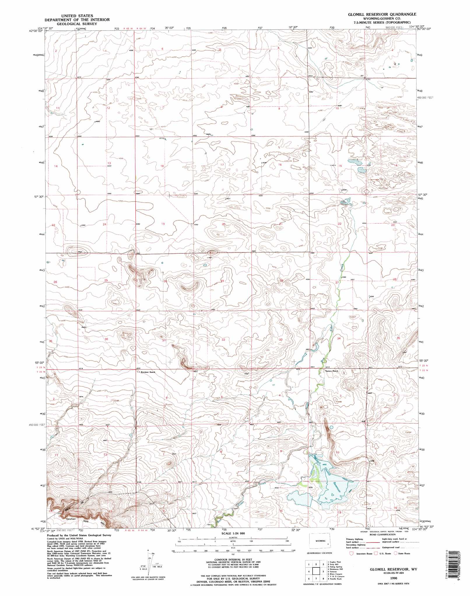
USGS Topo Quad 41104h5 - 1:24,000 scale
| Topo Map Name: | Glomill Reservoir |
| USGS Topo Quad ID: | 41104h5 |
| Print Size: | ca. 21 1/4" wide x 27" high |
| Southeast Coordinates: | 41.875° N latitude / 104.5° W longitude |
| Map Center Coordinates: | 41.9375° N latitude / 104.5625° W longitude |
| U.S. State: | WY |
| Filename: | o41104h5.jpg |
| Download Map JPG Image: | Glomill Reservoir topo map 1:24,000 scale |
| Map Type: | Topographic |
| Topo Series: | 7.5´ |
| Map Scale: | 1:24,000 |
| Source of Map Images: | United States Geological Survey (USGS) |
| Alternate Map Versions: |
Glomill Reservoir WY 1963, updated 1967 Download PDF Buy paper map Glomill Reservoir WY 1963, updated 1979 Download PDF Buy paper map Glomill Reservoir WY 1968, updated 1993 Download PDF Buy paper map Glomill Reservoir WY 1990, updated 1995 Download PDF Buy paper map Glomill Reservoir WY 2012 Download PDF Buy paper map Glomill Reservoir WY 2015 Download PDF Buy paper map |
1:24,000 Topo Quads surrounding Glomill Reservoir
Wheatland Ne |
Register Cliff |
Fort Laramie |
Barnes |
Lingle |
Antelope Gap |
Eagles Nest |
Rock Eagle |
Habig Spring |
Cottier |
Bordeaux |
Dickinson Hill |
Glomill Reservoir |
Veteran |
Yoder |
Chugwater |
Klutz Canyon |
Y B O Ranch |
Needle Rock |
Hawk Springs |
Bristol Ridge Ne |
C S Ranch |
Cattail Ranch Ne |
Diamond Flat |
Kessler Gap |
> Back to 41104e1 at 1:100,000 scale
> Back to 41104a1 at 1:250,000 scale
> Back to U.S. Topo Maps home
Glomill Reservoir topo map: Gazetteer
Glomill Reservoir: Dams
Baker Number 1 Dam elevation 1336m 4383′Garrelts Number 1 Dam elevation 1375m 4511′
Glomill Dam elevation 1379m 4524′
Glomill Reservoir: Populated Places
Mers Hill elevation 1531m 5022′Glomill Reservoir: Reservoirs
Baker Number 1 Reservoir elevation 1336m 4383′Garrelts Number 1 Reservoir elevation 1375m 4511′
Glomill Reservoir elevation 1379m 4524′
Glomill Reservoir elevation 1373m 4504′
Glomill Reservoir: Streams
Box Elder Creek elevation 1321m 4333′Glomill Reservoir digital topo map on disk
Buy this Glomill Reservoir topo map showing relief, roads, GPS coordinates and other geographical features, as a high-resolution digital map file on DVD:
Eastern Wyoming & Western South Dakota
Buy digital topo maps: Eastern Wyoming & Western South Dakota