Twelvemile Well Topo Map Wyoming
To zoom in, hover over the map of Twelvemile Well
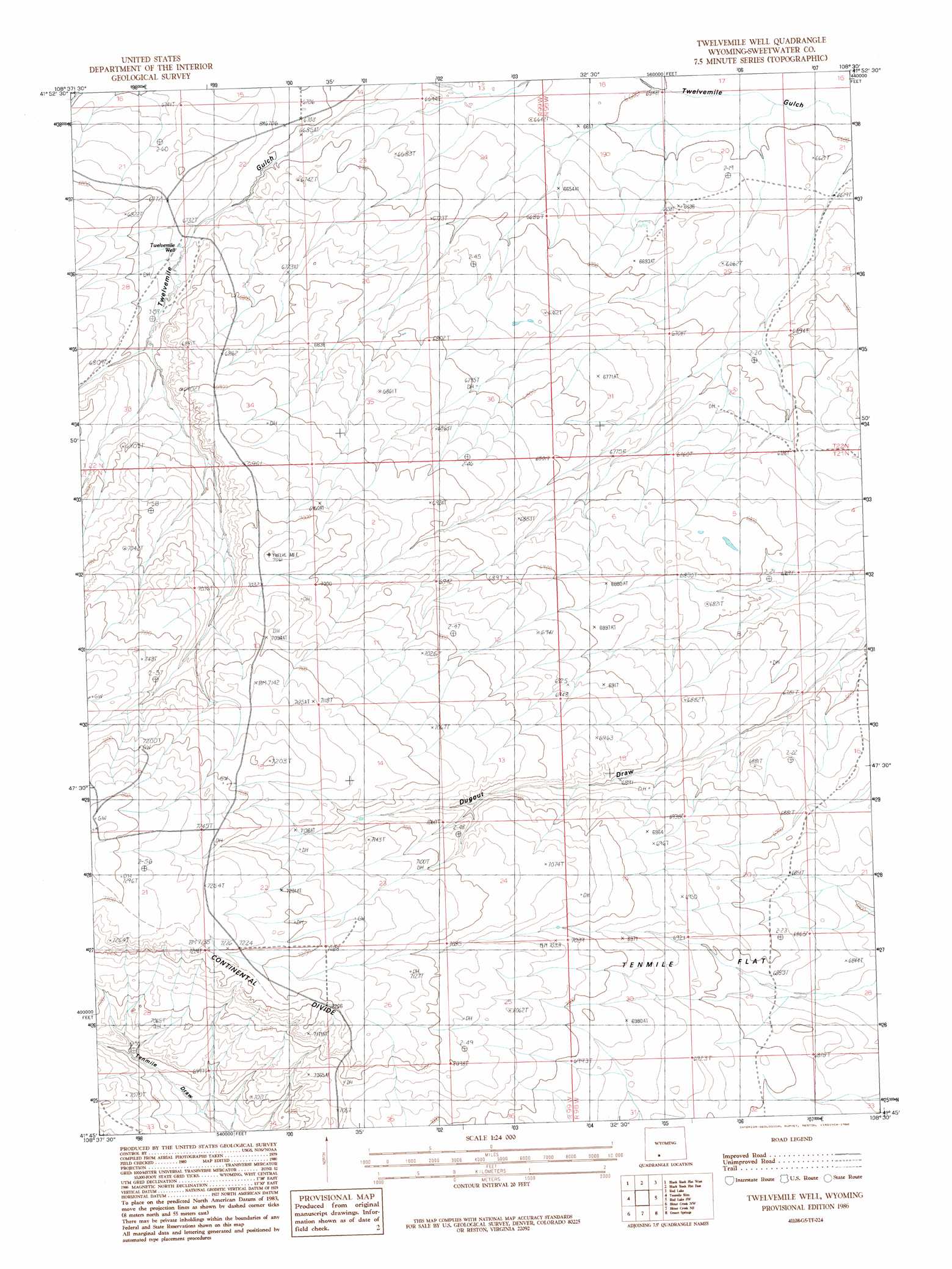
USGS Topo Quad 41108g5 - 1:24,000 scale
| Topo Map Name: | Twelvemile Well |
| USGS Topo Quad ID: | 41108g5 |
| Print Size: | ca. 21 1/4" wide x 27" high |
| Southeast Coordinates: | 41.75° N latitude / 108.5° W longitude |
| Map Center Coordinates: | 41.8125° N latitude / 108.5625° W longitude |
| U.S. State: | WY |
| Filename: | o41108g5.jpg |
| Download Map JPG Image: | Twelvemile Well topo map 1:24,000 scale |
| Map Type: | Topographic |
| Topo Series: | 7.5´ |
| Map Scale: | 1:24,000 |
| Source of Map Images: | United States Geological Survey (USGS) |
| Alternate Map Versions: |
Twelvemile Well WY 1986, updated 1986 Download PDF Buy paper map Twelvemile Well WY 2012 Download PDF Buy paper map Twelvemile Well WY 2015 Download PDF Buy paper map |
1:24,000 Topo Quads surrounding Twelvemile Well
Freighter Gap |
The Pinnacles |
Buffalo Hump Basin |
Luman Rim |
Bush Lake |
Black Rock North |
Black Rock Flat West |
Black Rock Flat East |
Red Lake |
Red Lake Ne |
Black Rock South |
Tenmile Rim |
Twelvemile Well |
Red Lake Sw |
Red Lake Se |
Point Of Rocks |
Bitter Creek Nw |
Bitter Creek Ne |
Desert Springs |
Tipton |
Point Of Rocks Se |
Black Buttes |
Bitter Creek |
Table Rock |
J O Dugway |
> Back to 41108e1 at 1:100,000 scale
> Back to 41108a1 at 1:250,000 scale
> Back to U.S. Topo Maps home
Twelvemile Well topo map: Gazetteer
Twelvemile Well: Flats
Tenmile Flat elevation 2116m 6942′Twelvemile Well: Wells
Twelvemile Well elevation 2056m 6745′Twelvemile Well digital topo map on disk
Buy this Twelvemile Well topo map showing relief, roads, GPS coordinates and other geographical features, as a high-resolution digital map file on DVD: