Fontenelle Se Topo Map Wyoming
To zoom in, hover over the map of Fontenelle Se
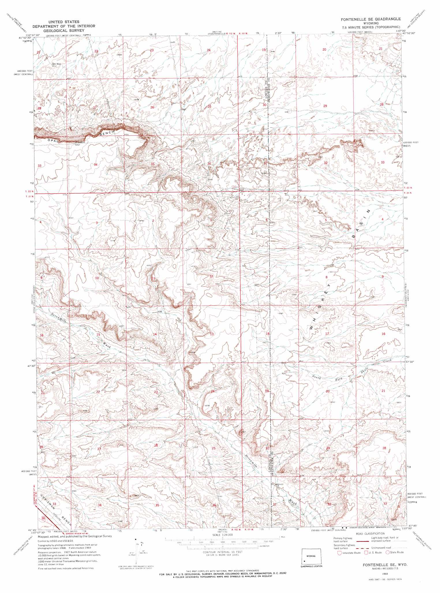
USGS Topo Quad 41110g1 - 1:24,000 scale
| Topo Map Name: | Fontenelle Se |
| USGS Topo Quad ID: | 41110g1 |
| Print Size: | ca. 21 1/4" wide x 27" high |
| Southeast Coordinates: | 41.75° N latitude / 110° W longitude |
| Map Center Coordinates: | 41.8125° N latitude / 110.0625° W longitude |
| U.S. State: | WY |
| Filename: | o41110g1.jpg |
| Download Map JPG Image: | Fontenelle Se topo map 1:24,000 scale |
| Map Type: | Topographic |
| Topo Series: | 7.5´ |
| Map Scale: | 1:24,000 |
| Source of Map Images: | United States Geological Survey (USGS) |
| Alternate Map Versions: |
Fontenelle SE WY 1969, updated 1972 Download PDF Buy paper map Fontenelle SE WY 2012 Download PDF Buy paper map Fontenelle SE WY 2015 Download PDF Buy paper map |
1:24,000 Topo Quads surrounding Fontenelle Se
The Palisades |
Fontenelle Reservoir Sw |
Fontenelle Reservoir Se |
Blue Forest |
Twelvemile Sink |
Graham Reservoir |
Shute Creek Lake |
Fontenelle |
Mccullen Bluff |
Thoman School |
Opal |
Cow Hollow Creek |
Fontenelle Se |
Whiskey Buttes |
Lombard Buttes |
Roberson Creek |
Church Butte Nw |
Moxa |
Sevenmile Gulch |
Blue Point |
Hampton |
Church Butte |
Verne |
Granger |
Little America |
> Back to 41110e1 at 1:100,000 scale
> Back to 41110a1 at 1:250,000 scale
> Back to U.S. Topo Maps home
Fontenelle Se digital topo map on disk
Buy this Fontenelle Se topo map showing relief, roads, GPS coordinates and other geographical features, as a high-resolution digital map file on DVD: