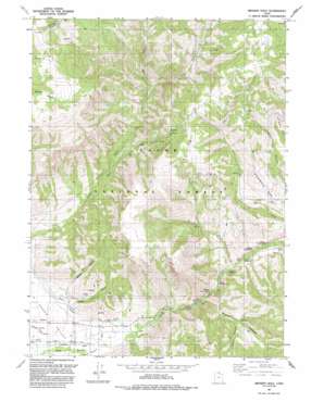
Browns Hole Topo Map Utah
To zoom in, hover over the map of Browns Hole
USGS Topo Quad 41111c6 - 1:24,000 scale
| Topo Map Name: | Browns Hole |
| USGS Topo Quad ID: | 41111c6 |
| Print Size: | ca. 21 1/4" wide x 27" high |
| Southeast Coordinates: | 41.25° N latitude / 111.625° W longitude |
| Map Center Coordinates: | 41.3125° N latitude / 111.6875° W longitude |
| U.S. State: | UT |
| Filename: | o41111c6.jpg |
| Download Map JPG Image: | Browns Hole topo map 1:24,000 scale |
| Map Type: | Topographic |
| Topo Series: | 7.5´ |
| Map Scale: | 1:24,000 |
| Source of Map Images: | United States Geological Survey (USGS) |
| Alternate Map Versions: |
Browns Hole UT 1964, updated 1966 Download PDF Buy paper map Browns Hole UT 1964, updated 1978 Download PDF Buy paper map Browns Hole UT 1991, updated 1991 Download PDF Buy paper map Browns Hole UT 1998, updated 2000 Download PDF Buy paper map Browns Hole UT 2011 Download PDF Buy paper map Browns Hole UT 2014 Download PDF Buy paper map |
| FStopo: | US Forest Service topo Browns Hole is available: Download FStopo PDF Download FStopo TIF |
1:24,000 Topo Quads surrounding Browns Hole
> Back to 41111a1 at 1:100,000 scale
> Back to 41110a1 at 1:250,000 scale
> Back to U.S. Topo Maps home
Browns Hole topo map: Gazetteer
Browns Hole: Basins
Browns Hole elevation 2034m 6673′Browns Hole: Canals
Huntsville South Ditch elevation 1519m 4983′Mountain Canal elevation 1528m 5013′
Ogden Valley Canal elevation 1550m 5085′
Browns Hole: Parks
Evergreen Park elevation 1820m 5971′Browns Hole: Populated Places
Evergreen Park elevation 1796m 5892′Green Hill Country Estates elevation 1668m 5472′
Huntsville Hollow elevation 1565m 5134′
Mountain Valley Meadows elevation 1520m 4986′
South Fork Ranchettes elevation 1543m 5062′
Browns Hole: Post Offices
Ben Lomond Station Post Office elevation 1857m 6092′Browns Hole: Streams
Cobble Creek elevation 1606m 5269′Elk Creek elevation 1752m 5748′
Left Fork Middle Fork Ogden River elevation 1869m 6131′
Right Fork Middle Fork Ogden River elevation 1872m 6141′
South Fork Ogden River elevation 1535m 5036′
Browns Hole: Valleys
Critian Hollow elevation 1686m 5531′Kelley Canyon elevation 1536m 5039′
Magpie Canyon elevation 1590m 5216′
Maple Canyon elevation 1567m 5141′
Browns Hole digital topo map on disk
Buy this Browns Hole topo map showing relief, roads, GPS coordinates and other geographical features, as a high-resolution digital map file on DVD:


