Curlew Junction Topo Map Utah
To zoom in, hover over the map of Curlew Junction
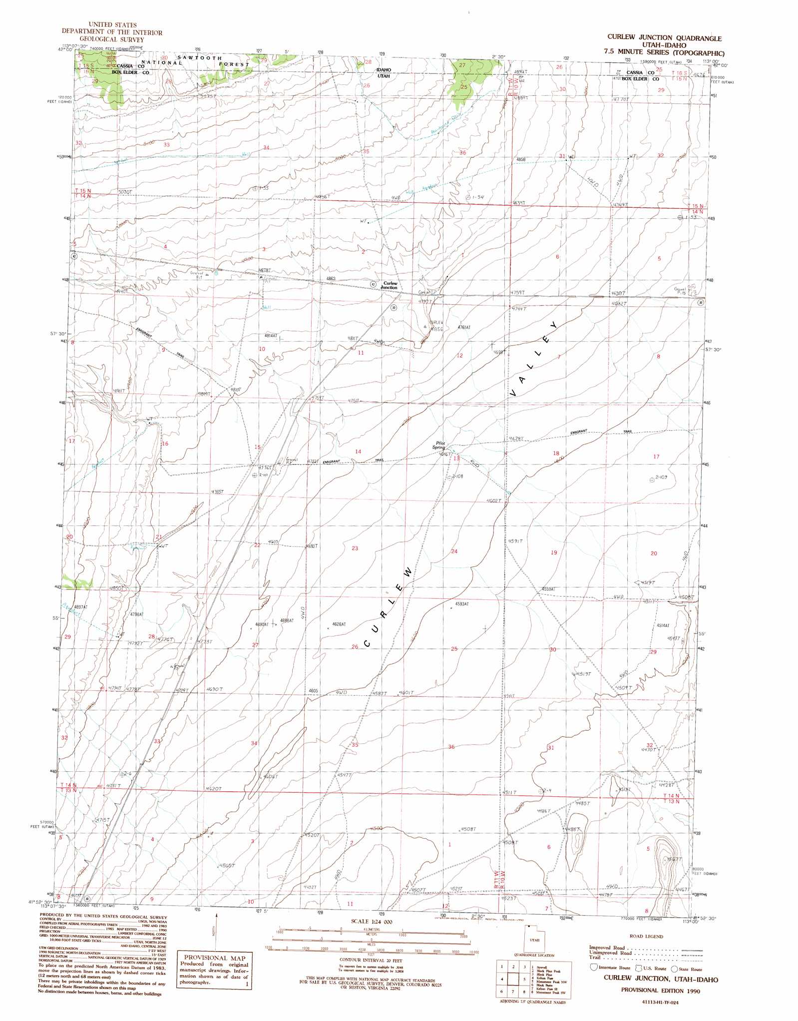
USGS Topo Quad 41113h1 - 1:24,000 scale
| Topo Map Name: | Curlew Junction |
| USGS Topo Quad ID: | 41113h1 |
| Print Size: | ca. 21 1/4" wide x 27" high |
| Southeast Coordinates: | 41.875° N latitude / 113° W longitude |
| Map Center Coordinates: | 41.9375° N latitude / 113.0625° W longitude |
| U.S. States: | UT, ID |
| Filename: | o41113h1.jpg |
| Download Map JPG Image: | Curlew Junction topo map 1:24,000 scale |
| Map Type: | Topographic |
| Topo Series: | 7.5´ |
| Map Scale: | 1:24,000 |
| Source of Map Images: | United States Geological Survey (USGS) |
| Alternate Map Versions: |
Curlew Junction UT 1990, updated 1990 Download PDF Buy paper map Curlew Junction UT 2001, updated 2006 Download PDF Buy paper map Curlew Junction UT 2011 Download PDF Buy paper map Curlew Junction UT 2014 Download PDF Buy paper map |
| FStopo: | US Forest Service topo Curlew Junction is available: Download FStopo PDF Download FStopo TIF |
1:24,000 Topo Quads surrounding Curlew Junction
Bridge |
Sandrock Canyon |
Sweetzer Canyon |
Juniper |
Badger Hole Spring |
Naf |
Strevell |
Black Pine Peak |
Black Pine |
The Cove |
Rosevere Point |
Kelton Pass |
Curlew Junction |
Monument Peak Nw |
Monument Peak Ne |
Park Valley |
Black Butte |
Kelton Pass Se |
Monument Peak Sw |
Monument Peak |
Russian Knoll |
Peplin Flats |
Crocodile Mountain Ne |
Locomotive Springs |
Monument Point |
> Back to 41113e1 at 1:100,000 scale
> Back to 41112a1 at 1:250,000 scale
> Back to U.S. Topo Maps home
Curlew Junction topo map: Gazetteer
Curlew Junction: Populated Places
Curlew Junction elevation 1477m 4845′Curlew Junction: Springs
Pilot Spring elevation 1417m 4648′Curlew Junction: Streams
Duffy Creek elevation 1383m 4537′Curlew Junction digital topo map on disk
Buy this Curlew Junction topo map showing relief, roads, GPS coordinates and other geographical features, as a high-resolution digital map file on DVD: