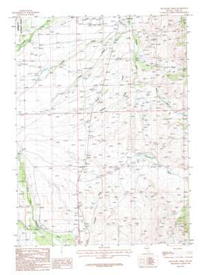
Delaware Creek Topo Map Nevada
To zoom in, hover over the map of Delaware Creek
USGS Topo Quad 41115e7 - 1:24,000 scale
| Topo Map Name: | Delaware Creek |
| USGS Topo Quad ID: | 41115e7 |
| Print Size: | ca. 21 1/4" wide x 27" high |
| Southeast Coordinates: | 41.5° N latitude / 115.75° W longitude |
| Map Center Coordinates: | 41.5625° N latitude / 115.8125° W longitude |
| U.S. State: | NV |
| Filename: | o41115e7.jpg |
| Download Map JPG Image: | Delaware Creek topo map 1:24,000 scale |
| Map Type: | Topographic |
| Topo Series: | 7.5´ |
| Map Scale: | 1:24,000 |
| Source of Map Images: | United States Geological Survey (USGS) |
| Alternate Map Versions: |
Delaware Creek NV 1986, updated 1987 Download PDF Buy paper map Delaware Creek NV 2012 Download PDF Buy paper map Delaware Creek NV 2015 Download PDF Buy paper map |
| FStopo: | US Forest Service topo Delaware Creek is available: Download FStopo PDF Download FStopo TIF |
1:24,000 Topo Quads surrounding Delaware Creek
> Back to 41115e1 at 1:100,000 scale
> Back to 41114a1 at 1:250,000 scale
> Back to U.S. Topo Maps home
Delaware Creek topo map: Gazetteer
Delaware Creek: Airports
Stevens-Crosby Airport elevation 1945m 6381′Wild Horse Airport elevation 1930m 6332′
Delaware Creek: Post Offices
Alexander Post Office (historical) elevation 1909m 6263′Delaware Creek: Streams
Chicken Creek elevation 1912m 6272′Clear Creek elevation 1941m 6368′
Clear Creek elevation 1903m 6243′
Crooked Creek elevation 1903m 6243′
Delaware Creek elevation 1914m 6279′
Hanks Creek elevation 1914m 6279′
Jacks Creek elevation 1903m 6243′
McAfee Creek elevation 1902m 6240′
Delaware Creek digital topo map on disk
Buy this Delaware Creek topo map showing relief, roads, GPS coordinates and other geographical features, as a high-resolution digital map file on DVD:


