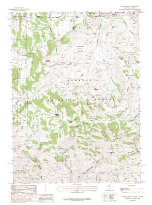
Winter Ridge Topo Map Nevada
To zoom in, hover over the map of Winter Ridge
USGS Topo Quad 41115h8 - 1:24,000 scale
| Topo Map Name: | Winter Ridge |
| USGS Topo Quad ID: | 41115h8 |
| Print Size: | ca. 21 1/4" wide x 27" high |
| Southeast Coordinates: | 41.875° N latitude / 115.875° W longitude |
| Map Center Coordinates: | 41.9375° N latitude / 115.9375° W longitude |
| U.S. States: | NV, ID |
| Filename: | o41115h8.jpg |
| Download Map JPG Image: | Winter Ridge topo map 1:24,000 scale |
| Map Type: | Topographic |
| Topo Series: | 7.5´ |
| Map Scale: | 1:24,000 |
| Source of Map Images: | United States Geological Survey (USGS) |
| Alternate Map Versions: |
Winter Ridge NV 1986, updated 1987 Download PDF Buy paper map Winter Ridge NV 2012 Download PDF Buy paper map Winter Ridge NV 2015 Download PDF Buy paper map |
| FStopo: | US Forest Service topo Winter Ridge is available: Download FStopo PDF Download FStopo TIF |
1:24,000 Topo Quads surrounding Winter Ridge
> Back to 41115e1 at 1:100,000 scale
> Back to 41114a1 at 1:250,000 scale
> Back to U.S. Topo Maps home
Winter Ridge topo map: Gazetteer
Winter Ridge: Basins
Boulder Basin elevation 1905m 6250′Winter Ridge: Cliffs
Blizzard Bluff elevation 2154m 7066′Winter Ridge: Flats
Horse Heaven Flat elevation 2155m 7070′State Line Meadows elevation 2261m 7417′
Willis Meadow elevation 1898m 6227′
Winter Ridge: Ridges
Winter Ridge elevation 2343m 7687′Winter Ridge: Springs
Bruneau Spring elevation 2167m 7109′Gedney Spring elevation 2054m 6738′
Iron Spring elevation 2069m 6788′
Moonshine Spring elevation 2184m 7165′
Winter Ridge: Streams
Black Canyon Creek elevation 1889m 6197′Little Log Creek elevation 1924m 6312′
Little Salmon Creek elevation 1972m 6469′
Log Creek elevation 1899m 6230′
Merritt Creek elevation 1865m 6118′
Porcupine Creek elevation 2016m 6614′
Rain Creek elevation 1868m 6128′
Sagehen Creek elevation 1937m 6354′
Salmon Creek elevation 1852m 6076′
Walker Creek elevation 1949m 6394′
Willis Creek elevation 1865m 6118′
Winter Ridge: Summits
Deadhorse Point elevation 2222m 7290′Iron Mountain elevation 2124m 6968′
Pin Mountain elevation 2217m 7273′
Whisky Point elevation 2023m 6637′
Winter Ridge: Valleys
Assessor Draw elevation 1939m 6361′Black Canyon elevation 1888m 6194′
Deer Gulch elevation 1862m 6108′
Mustang Draw elevation 1962m 6437′
Nip and Tuck Draw elevation 1881m 6171′
Ramsey Draw elevation 1888m 6194′
Yankee Bill Gulch elevation 2006m 6581′
Winter Ridge digital topo map on disk
Buy this Winter Ridge topo map showing relief, roads, GPS coordinates and other geographical features, as a high-resolution digital map file on DVD:


