Elevenmile Well Topo Map Nevada
To zoom in, hover over the map of Elevenmile Well
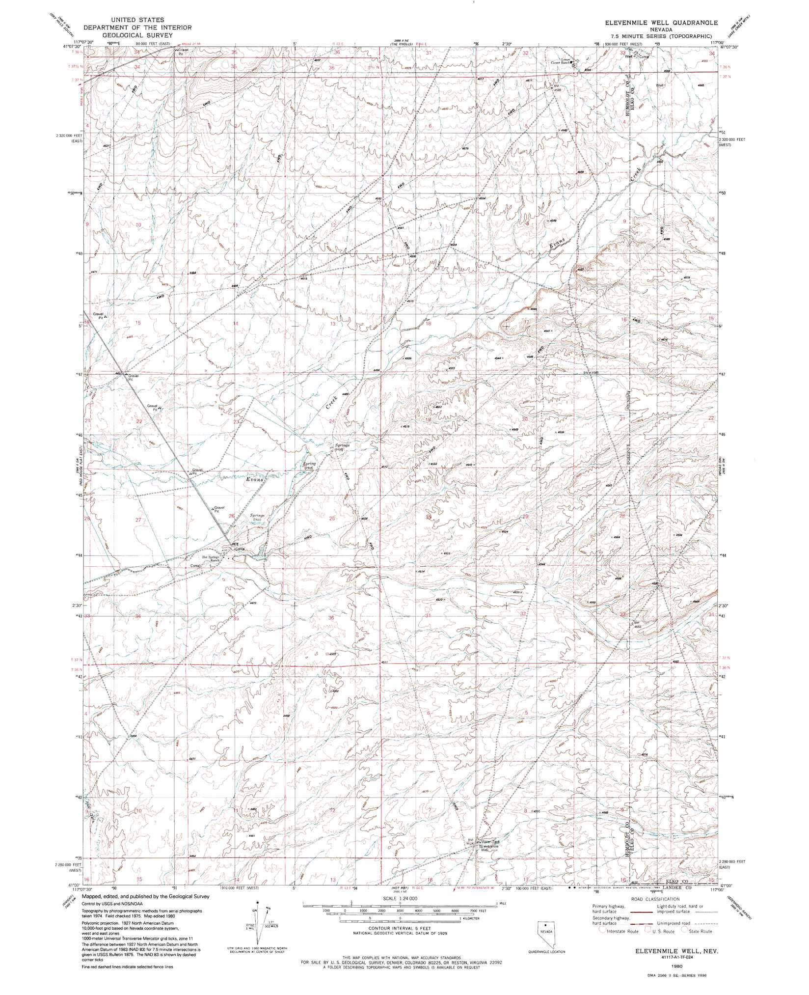
USGS Topo Quad 41117a1 - 1:24,000 scale
| Topo Map Name: | Elevenmile Well |
| USGS Topo Quad ID: | 41117a1 |
| Print Size: | ca. 21 1/4" wide x 27" high |
| Southeast Coordinates: | 41° N latitude / 117° W longitude |
| Map Center Coordinates: | 41.0625° N latitude / 117.0625° W longitude |
| U.S. State: | NV |
| Filename: | o41117a1.jpg |
| Download Map JPG Image: | Elevenmile Well topo map 1:24,000 scale |
| Map Type: | Topographic |
| Topo Series: | 7.5´ |
| Map Scale: | 1:24,000 |
| Source of Map Images: | United States Geological Survey (USGS) |
| Alternate Map Versions: |
Elevenmile Well NV 1980, updated 1981 Download PDF Buy paper map Elevenmile Well NV 1980, updated 1991 Download PDF Buy paper map Elevenmile Well NV 2012 Download PDF Buy paper map Elevenmile Well NV 2015 Download PDF Buy paper map |
1:24,000 Topo Quads surrounding Elevenmile Well
Eden Valley |
Dry Hills North |
Kenny Creek |
Snowstorm Mountain |
Oregon Canyon |
Adam Peak |
Dry Hills South |
The Knolls |
Jake Creek Mountain |
Midas |
Red House Flat West |
Red House Flat East |
Elevenmile Well |
Midas Sw |
Sixmile Hill |
Iron Point |
Knight |
Hot Pot |
Izzenhood Ranch |
Izzenhood Gap |
Brooks Spring |
Valmy |
Ellison |
Russells |
Izzenhood Spring |
> Back to 41117a1 at 1:100,000 scale
> Back to 41116a1 at 1:250,000 scale
> Back to U.S. Topo Maps home
Elevenmile Well topo map: Gazetteer
Elevenmile Well: Streams
Jake Creek elevation 1388m 4553′Elevenmile Well: Wells
Elevenmile Well elevation 1380m 4527′Elevenmile Well digital topo map on disk
Buy this Elevenmile Well topo map showing relief, roads, GPS coordinates and other geographical features, as a high-resolution digital map file on DVD: