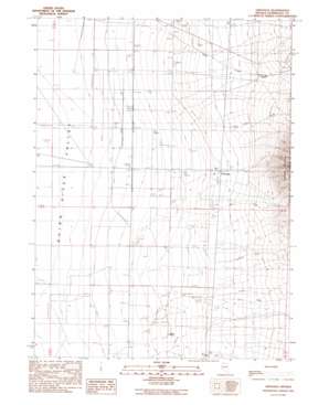
Orovada Topo Map Nevada
To zoom in, hover over the map of Orovada
USGS Topo Quad 41117e7 - 1:24,000 scale
| Topo Map Name: | Orovada |
| USGS Topo Quad ID: | 41117e7 |
| Print Size: | ca. 21 1/4" wide x 27" high |
| Southeast Coordinates: | 41.5° N latitude / 117.75° W longitude |
| Map Center Coordinates: | 41.5625° N latitude / 117.8125° W longitude |
| U.S. State: | NV |
| Filename: | o41117e7.jpg |
| Download Map JPG Image: | Orovada topo map 1:24,000 scale |
| Map Type: | Topographic |
| Topo Series: | 7.5´ |
| Map Scale: | 1:24,000 |
| Source of Map Images: | United States Geological Survey (USGS) |
| Alternate Map Versions: |
Orovada NV 1991, updated 1991 Download PDF Buy paper map Orovada NV 2011 Download PDF Buy paper map Orovada NV 2015 Download PDF Buy paper map |
| FStopo: | US Forest Service topo Orovada is available: Download FStopo PDF Download FStopo TIF |
1:24,000 Topo Quads surrounding Orovada
> Back to 41117e1 at 1:100,000 scale
> Back to 41116a1 at 1:250,000 scale
> Back to U.S. Topo Maps home
Orovada topo map: Gazetteer
Orovada: Airports
Pine Grove Airport elevation 1296m 4251′Orovada: Flats
Buffalo Meadows elevation 1303m 4274′Orovada: Populated Places
Orovada elevation 1324m 4343′Rebel Creek (historical) elevation 1409m 4622′
Orovada: Post Offices
Orovada Post Office elevation 1323m 4340′Rebel Creek Post Office elevation 1415m 4642′
Orovada: Springs
Buffalo Springs elevation 1301m 4268′Halfway Spring elevation 1409m 4622′
Orovada: Streams
Antelope Creek elevation 1318m 4324′Buffalo Creek elevation 1315m 4314′
Dog Creek elevation 1319m 4327′
McConnell Creek elevation 1291m 4235′
Pine Creek elevation 1313m 4307′
Rebel Creek elevation 1286m 4219′
Rock Creek elevation 1307m 4288′
Wood Canyon Creek elevation 1318m 4324′
Orovada: Valleys
Horse Canyon elevation 1328m 4356′Orovada digital topo map on disk
Buy this Orovada topo map showing relief, roads, GPS coordinates and other geographical features, as a high-resolution digital map file on DVD:


