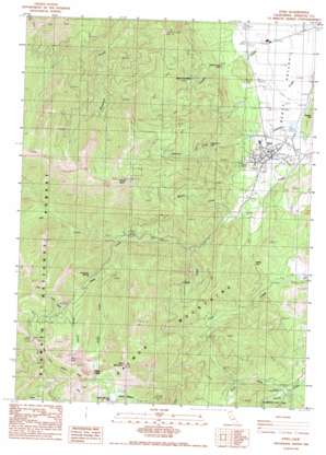
Etna Topo Map California
To zoom in, hover over the map of Etna
USGS Topo Quad 41122d8 - 1:24,000 scale
| Topo Map Name: | Etna |
| USGS Topo Quad ID: | 41122d8 |
| Print Size: | ca. 21 1/4" wide x 27" high |
| Southeast Coordinates: | 41.375° N latitude / 122.875° W longitude |
| Map Center Coordinates: | 41.4375° N latitude / 122.9375° W longitude |
| U.S. State: | CA |
| Filename: | o41122d8.jpg |
| Download Map JPG Image: | Etna topo map 1:24,000 scale |
| Map Type: | Topographic |
| Topo Series: | 7.5´ |
| Map Scale: | 1:24,000 |
| Source of Map Images: | United States Geological Survey (USGS) |
| Alternate Map Versions: |
Etna CA 1986, updated 1986 Download PDF Buy paper map Etna CA 2001, updated 2004 Download PDF Buy paper map Etna CA 2001, updated 2004 Download PDF Buy paper map Etna CA 2012 Download PDF Buy paper map Etna CA 2015 Download PDF Buy paper map |
| FStopo: | US Forest Service topo Etna is available: Download FStopo PDF Download FStopo TIF |
1:24,000 Topo Quads surrounding Etna
> Back to 41122a1 at 1:100,000 scale
> Back to 41122a1 at 1:250,000 scale
> Back to U.S. Topo Maps home
Etna topo map: Gazetteer
Etna: Falls
Johnson Creek Falls elevation 1119m 3671′Etna: Gaps
Etna Summit elevation 1798m 5898′Ruffey Gap elevation 1085m 3559′
Etna: Lakes
Meeks Meadow Lake elevation 1884m 6181′Ruffey Lakes elevation 2006m 6581′
Wicks Lake elevation 1742m 5715′
Etna: Mines
Zarina Mine elevation 1732m 5682′Etna: Pillars
Crystal Creek Rock elevation 935m 3067′Etna: Populated Places
Deacon Lee Place elevation 1061m 3480′Etna elevation 895m 2936′
Etna: Post Offices
Etna Post Office elevation 895m 2936′Etna: Springs
Hockaday Springs elevation 1418m 4652′Etna: Streams
Alder Creek elevation 1038m 3405′Lunch Creek elevation 1534m 5032′
Mill Creek elevation 1154m 3786′
North Fork French Creek elevation 936m 3070′
Ruffey Creek elevation 1345m 4412′
Whisky Creek elevation 953m 3126′
Etna: Summits
Etna Mountain elevation 2287m 7503′Hughes Hill elevation 971m 3185′
Whisky Butte elevation 2099m 6886′
Etna digital topo map on disk
Buy this Etna topo map showing relief, roads, GPS coordinates and other geographical features, as a high-resolution digital map file on DVD:


