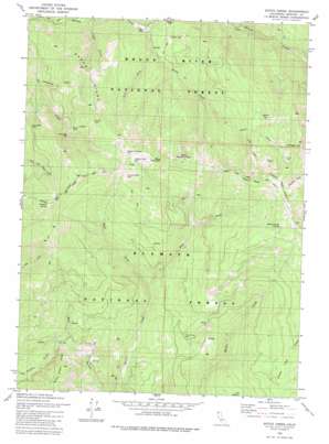
Dutch Creek Topo Map California
To zoom in, hover over the map of Dutch Creek
USGS Topo Quad 41123h1 - 1:24,000 scale
| Topo Map Name: | Dutch Creek |
| USGS Topo Quad ID: | 41123h1 |
| Print Size: | ca. 21 1/4" wide x 27" high |
| Southeast Coordinates: | 41.875° N latitude / 123° W longitude |
| Map Center Coordinates: | 41.9375° N latitude / 123.0625° W longitude |
| U.S. State: | CA |
| Filename: | o41123h1.jpg |
| Download Map JPG Image: | Dutch Creek topo map 1:24,000 scale |
| Map Type: | Topographic |
| Topo Series: | 7.5´ |
| Map Scale: | 1:24,000 |
| Source of Map Images: | United States Geological Survey (USGS) |
| Alternate Map Versions: |
Dutch Creek CA 1980, updated 1980 Download PDF Buy paper map Dutch Creek CA 1980, updated 1980 Download PDF Buy paper map Dutch Creek CA 1998, updated 2001 Download PDF Buy paper map Dutch Creek CA 2012 Download PDF Buy paper map Dutch Creek CA 2015 Download PDF Buy paper map |
| FStopo: | US Forest Service topo Dutch Creek is available: Download FStopo PDF Download FStopo TIF |
1:24,000 Topo Quads surrounding Dutch Creek
> Back to 41123e1 at 1:100,000 scale
> Back to 41122a1 at 1:250,000 scale
> Back to U.S. Topo Maps home
Dutch Creek topo map: Gazetteer
Dutch Creek: Flats
Onion Flat elevation 1859m 6099′Slaughter House Flat elevation 1871m 6138′
Willow Flat elevation 1610m 5282′
Dutch Creek: Gaps
Bloomfield Pass elevation 1357m 4452′Seiad Low Gap elevation 893m 2929′
Dutch Creek: Mines
Blue Ledge Mine elevation 1502m 4927′Boggs Mine elevation 871m 2857′
Cobb Mine elevation 735m 2411′
Tin Cup Mine elevation 1492m 4895′
Dutch Creek: Populated Places
Eileen elevation 1235m 4051′Dutch Creek: Ridges
Middle Creek Ridge elevation 1423m 4668′Nabob Ridge elevation 1517m 4977′
Dutch Creek: Springs
Reeves Ranch Springs elevation 1892m 6207′Dutch Creek: Streams
Dutch Creek elevation 739m 2424′East Fork Horse Creek elevation 827m 2713′
Little Dutch Creek elevation 1321m 4333′
West Fork Dutch Creek elevation 884m 2900′
West Fork Horse Creek elevation 827m 2713′
Dutch Creek: Summits
Black Mountain elevation 1943m 6374′Copper Butte elevation 1866m 6122′
Scraggy Mountain elevation 2117m 6945′
White Mountain elevation 1933m 6341′
Dutch Creek: Valleys
City Gulch elevation 883m 2896′Manzanita Gulch elevation 814m 2670′
Park Gulch elevation 753m 2470′
Dutch Creek digital topo map on disk
Buy this Dutch Creek topo map showing relief, roads, GPS coordinates and other geographical features, as a high-resolution digital map file on DVD:


