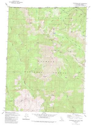
Figurehead Mountain Topo Map California
To zoom in, hover over the map of Figurehead Mountain
USGS Topo Quad 41123h3 - 1:24,000 scale
| Topo Map Name: | Figurehead Mountain |
| USGS Topo Quad ID: | 41123h3 |
| Print Size: | ca. 21 1/4" wide x 27" high |
| Southeast Coordinates: | 41.875° N latitude / 123.25° W longitude |
| Map Center Coordinates: | 41.9375° N latitude / 123.3125° W longitude |
| U.S. States: | CA, OR |
| Filename: | o41123h3.jpg |
| Download Map JPG Image: | Figurehead Mountain topo map 1:24,000 scale |
| Map Type: | Topographic |
| Topo Series: | 7.5´ |
| Map Scale: | 1:24,000 |
| Source of Map Images: | United States Geological Survey (USGS) |
| Alternate Map Versions: |
Figurehead Mtn CA 1980, updated 1981 Download PDF Buy paper map Figurehead Mtn CA 1980, updated 1985 Download PDF Buy paper map Figurehead Mountain CA 1998, updated 2001 Download PDF Buy paper map Figurehead Mountain CA 2012 Download PDF Buy paper map Figurehead Mountain CA 2015 Download PDF Buy paper map |
| FStopo: | US Forest Service topo Figurehead Mountain is available: Download FStopo PDF Download FStopo TIF |
1:24,000 Topo Quads surrounding Figurehead Mountain
> Back to 41123e1 at 1:100,000 scale
> Back to 41122a1 at 1:250,000 scale
> Back to U.S. Topo Maps home
Figurehead Mountain topo map: Gazetteer
Figurehead Mountain: Basins
Bear Wallow elevation 1076m 3530′Cedar Basin elevation 1518m 4980′
Figurehead Mountain: Flats
Cameron Meadows elevation 1756m 5761′Fir Glade elevation 1607m 5272′
Phantom Meadows elevation 1688m 5538′
Figurehead Mountain: Lakes
Azalea Lake elevation 1644m 5393′Lonesome Lake elevation 1670m 5479′
Snake Lake elevation 1767m 5797′
Figurehead Mountain: Mines
Rhodonite Mine elevation 1430m 4691′Figurehead Mountain: Streams
Bear Valley Creek elevation 655m 2148′Bug Creek elevation 437m 1433′
Cedar Creek elevation 775m 2542′
East Fork Fort Goff Creek elevation 922m 3024′
East Fork Thompson Creek elevation 808m 2650′
Fourmile Creek elevation 539m 1768′
Middle Fork Fort Goff Creek elevation 750m 2460′
Mill Creek elevation 509m 1669′
Morgan Creek elevation 658m 2158′
Slide Creek elevation 437m 1433′
West Fork Fort Goff Creek elevation 750m 2460′
Figurehead Mountain: Summits
Buck Peak elevation 1897m 6223′Figurehead Mountain elevation 1911m 6269′
Fourmile Butte elevation 1645m 5396′
Goff Butte elevation 1693m 5554′
Jackson Peak elevation 1502m 4927′
Mount Emily elevation 1838m 6030′
Pyramid Peak elevation 1923m 6309′
Tims Peak elevation 1470m 4822′
Figurehead Mountain: Trails
Bill Fruit Trail elevation 1328m 4356′Boundary National Recreation Trail elevation 1551m 5088′
Figurehead Mountain: Valleys
Bean Gulch elevation 1272m 4173′Frog Pond Gulch elevation 1070m 3510′
Knox Gulch elevation 1143m 3750′
Sweaty Gulch elevation 1292m 4238′
Figurehead Mountain digital topo map on disk
Buy this Figurehead Mountain topo map showing relief, roads, GPS coordinates and other geographical features, as a high-resolution digital map file on DVD:


