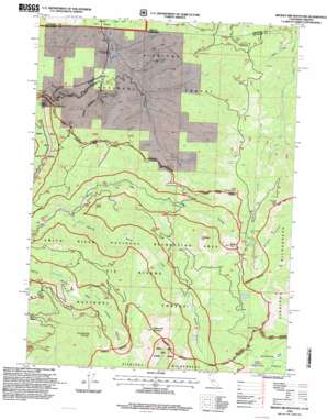
Broken Rib Mountain Topo Map California
To zoom in, hover over the map of Broken Rib Mountain
USGS Topo Quad 41123h6 - 1:24,000 scale
| Topo Map Name: | Broken Rib Mountain |
| USGS Topo Quad ID: | 41123h6 |
| Print Size: | ca. 21 1/4" wide x 27" high |
| Southeast Coordinates: | 41.875° N latitude / 123.625° W longitude |
| Map Center Coordinates: | 41.9375° N latitude / 123.6875° W longitude |
| U.S. States: | CA, OR |
| Filename: | o41123h6.jpg |
| Download Map JPG Image: | Broken Rib Mountain topo map 1:24,000 scale |
| Map Type: | Topographic |
| Topo Series: | 7.5´ |
| Map Scale: | 1:24,000 |
| Source of Map Images: | United States Geological Survey (USGS) |
| Alternate Map Versions: |
Broken Rib Mtn CA 1982, updated 1982 Download PDF Buy paper map Broken Rib Mtn CA 1982, updated 1982 Download PDF Buy paper map Broken Rib Mountain CA 1996, updated 1999 Download PDF Buy paper map Broken Rib Mountain CA 2012 Download PDF Buy paper map Broken Rib Mountain CA 2015 Download PDF Buy paper map |
| FStopo: | US Forest Service topo Broken Rib Mountain is available: Download FStopo PDF Download FStopo TIF |
1:24,000 Topo Quads surrounding Broken Rib Mountain
> Back to 41123e1 at 1:100,000 scale
> Back to 41122a1 at 1:250,000 scale
> Back to U.S. Topo Maps home
Broken Rib Mountain topo map: Gazetteer
Broken Rib Mountain: Areas
Cracker Meadows elevation 1528m 5013′Broken Rib Mountain: Flats
Craker Meadows elevation 1541m 5055′Broken Rib Mountain: Lakes
Bear Wallow elevation 1345m 4412′Sanger Lake elevation 1555m 5101′
Whisky Lake elevation 1486m 4875′
Broken Rib Mountain: Streams
Broken Kettle Creek elevation 520m 1706′Brushy Creek elevation 556m 1824′
Chicago Creek elevation 819m 2687′
Knopti Creek elevation 453m 1486′
Maple Creek elevation 538m 1765′
Broken Rib Mountain: Summits
Broken Rib Mountain elevation 1747m 5731′Chicago Peak elevation 1658m 5439′
Haystack elevation 1665m 5462′
Hazel View Summit elevation 736m 2414′
Laurel Butte elevation 920m 3018′
Little Sanger Peak elevation 1614m 5295′
Sanger Peak elevation 1782m 5846′
Wounded Knee Mountain elevation 1421m 4662′
Youngs Peak elevation 1893m 6210′
Broken Rib Mountain: Tunnels
Randolph Collier Tunnel elevation 589m 1932′Broken Rib Mountain: Valleys
Bybee Gulch elevation 602m 1975′Broken Rib Mountain digital topo map on disk
Buy this Broken Rib Mountain topo map showing relief, roads, GPS coordinates and other geographical features, as a high-resolution digital map file on DVD:


