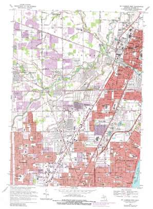
Mount Clemens West Topo Map Michigan
To zoom in, hover over the map of Mount Clemens West
USGS Topo Quad 42082e8 - 1:24,000 scale
| Topo Map Name: | Mount Clemens West |
| USGS Topo Quad ID: | 42082e8 |
| Print Size: | ca. 21 1/4" wide x 27" high |
| Southeast Coordinates: | 42.5° N latitude / 82.875° W longitude |
| Map Center Coordinates: | 42.5625° N latitude / 82.9375° W longitude |
| U.S. State: | MI |
| Filename: | o42082e8.jpg |
| Download Map JPG Image: | Mount Clemens West topo map 1:24,000 scale |
| Map Type: | Topographic |
| Topo Series: | 7.5´ |
| Map Scale: | 1:24,000 |
| Source of Map Images: | United States Geological Survey (USGS) |
| Alternate Map Versions: |
Mt Clemens West MI 1952, updated 1953 Download PDF Buy paper map Mt Clemens West MI 1968, updated 1971 Download PDF Buy paper map Mt Clemens West MI 1968, updated 1974 Download PDF Buy paper map Mt Clemens West MI 1968, updated 1981 Download PDF Buy paper map Mt Clemens West MI 1968, updated 1981 Download PDF Buy paper map Mount Clemens West MI 2011 Download PDF Buy paper map Mount Clemens West MI 2014 Download PDF Buy paper map Mount Clemens West MI 2017 Download PDF Buy paper map |
1:24,000 Topo Quads surrounding Mount Clemens West
> Back to 42082e1 at 1:100,000 scale
> Back to 42082a1 at 1:250,000 scale
> Back to U.S. Topo Maps home
Mount Clemens West topo map: Gazetteer
Mount Clemens West: Airports
Grant Pad Heliport elevation 187m 613′McKipley Airport elevation 186m 610′
Saint Joseph Hospital Heliport elevation 183m 600′
Mount Clemens West: Canals
Deiner Ditch elevation 185m 606′Robinson Ditch elevation 184m 603′
Mount Clemens West: Parks
Arthur J Miller Park elevation 186m 610′Baumgartner Park elevation 184m 603′
Clarence A McGrath Park elevation 188m 616′
Kiwanis Park elevation 182m 597′
Monroe Playground elevation 178m 583′
Olson Park elevation 183m 600′
Rotary Park elevation 188m 616′
Shady Side Park elevation 177m 580′
Mount Clemens West: Populated Places
Broad Acres elevation 184m 603′Cady elevation 187m 613′
Clinton elevation 183m 600′
Fraser elevation 186m 610′
Mount Clemens elevation 185m 606′
Mount Clemens West: Streams
Cranberry Marsh Drain elevation 179m 587′Crittenden Drain elevation 180m 590′
Daus Drain elevation 183m 600′
Faulman Drain elevation 180m 590′
Groth Drain elevation 178m 583′
Harrington Drain elevation 177m 580′
Hildebrandt Drain elevation 183m 600′
Kenner Drain elevation 181m 593′
Kukuk Drain elevation 178m 583′
McInerney Drain elevation 180m 590′
Middle Branch Clinton River elevation 177m 580′
Miller Drain elevation 177m 580′
Newth Drain elevation 181m 593′
North Branch Clinton River elevation 176m 577′
Plum Brook elevation 179m 587′
Red Run elevation 180m 590′
Stadler Drain elevation 181m 593′
Sweeney Drain elevation 183m 600′
Tesk Drain elevation 184m 603′
Utica Drain elevation 181m 593′
Mount Clemens West digital topo map on disk
Buy this Mount Clemens West topo map showing relief, roads, GPS coordinates and other geographical features, as a high-resolution digital map file on DVD:


