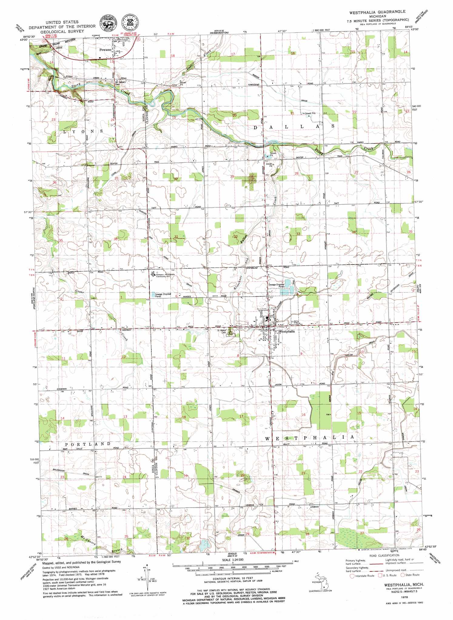
Wasphalia Topo Map Michigan
To zoom in, hover over the map of Wasphalia
USGS Topo Quad 42084h7 - 1:24,000 scale
| Topo Map Name: | Wasphalia |
| USGS Topo Quad ID: | 42084h7 |
| Print Size: | ca. 21 1/4" wide x 27" high |
| Southeast Coordinates: | 42.875° N latitude / 84.75° W longitude |
| Map Center Coordinates: | 42.9375° N latitude / 84.8125° W longitude |
| U.S. State: | MI |
| Filename: | o42084h7.jpg |
| Download Map JPG Image: | Wasphalia topo map 1:24,000 scale |
| Map Type: | Topographic |
| Topo Series: | 7.5´ |
| Map Scale: | 1:24,000 |
| Source of Map Images: | United States Geological Survey (USGS) |
| Alternate Map Versions: |
Westphalia MI 1978, updated 1979 Download PDF Buy paper map Westphalia MI 2011 Download PDF Buy paper map Westphalia MI 2014 Download PDF Buy paper map Westphalia MI 2017 Download PDF Buy paper map |
1:24,000 Topo Quads surrounding Wasphalia
Sheridan |
Butternut |
Carson City |
Perrinton |
Pompeii |
Shiloh |
Palo |
Hubbardston |
Maple Rapids |
Saint Johns North |
Ionia |
Portland North |
Wasphalia |
Riley |
Saint Johns South |
Woodbury |
Portland South |
Eagle |
Wacousta |
Lansing North |
Saubee Lake |
Hoytville |
Needmore |
Dimondale |
Lansing South |
> Back to 42084e1 at 1:100,000 scale
> Back to 42084a1 at 1:250,000 scale
> Back to U.S. Topo Maps home
Wasphalia topo map: Gazetteer
Wasphalia: Canals
Clinton and Ionia Drain elevation 226m 741′Cook Drain elevation 213m 698′
Gross and Taylor Drain elevation 228m 748′
Lehman Drain elevation 232m 761′
Morris Drain elevation 228m 748′
Thome and Wieber Drain elevation 225m 738′
Wieber Drain elevation 217m 711′
Wasphalia: Parks
Saint Mary's Parish Historical Marker elevation 232m 761′Westphalia Settlement Historical Marker elevation 232m 761′
Wasphalia: Populated Places
Westphalia elevation 232m 761′Wasphalia: Post Offices
Westphalia Post Office elevation 232m 761′Wasphalia: Streams
Kloeckner and Fuller Creek elevation 210m 688′Lost Creek elevation 206m 675′
Wasphalia digital topo map on disk
Buy this Wasphalia topo map showing relief, roads, GPS coordinates and other geographical features, as a high-resolution digital map file on DVD:
Northern Illinois, Northern Indiana & Southwestern Michigan
Buy digital topo maps: Northern Illinois, Northern Indiana & Southwestern Michigan