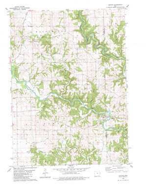
Canton Topo Map Iowa
To zoom in, hover over the map of Canton
USGS Topo Quad 42090b8 - 1:24,000 scale
| Topo Map Name: | Canton |
| USGS Topo Quad ID: | 42090b8 |
| Print Size: | ca. 21 1/4" wide x 27" high |
| Southeast Coordinates: | 42.125° N latitude / 90.875° W longitude |
| Map Center Coordinates: | 42.1875° N latitude / 90.9375° W longitude |
| U.S. State: | IA |
| Filename: | o42090b8.jpg |
| Download Map JPG Image: | Canton topo map 1:24,000 scale |
| Map Type: | Topographic |
| Topo Series: | 7.5´ |
| Map Scale: | 1:24,000 |
| Source of Map Images: | United States Geological Survey (USGS) |
| Alternate Map Versions: |
Canton IA 1980, updated 1981 Download PDF Buy paper map Canton IA 2010 Download PDF Buy paper map Canton IA 2013 Download PDF Buy paper map Canton IA 2015 Download PDF Buy paper map |
1:24,000 Topo Quads surrounding Canton
> Back to 42090a1 at 1:100,000 scale
> Back to 42090a1 at 1:250,000 scale
> Back to U.S. Topo Maps home
Canton topo map: Gazetteer
Canton: Bends
Mahoneys Bend elevation 219m 718′Oxbow elevation 220m 721′
Canton: Bridges
Supple Bridge elevation 225m 738′Canton: Islands
Squirrel Island elevation 226m 741′Canton: Parks
Canton County Park elevation 225m 738′Canton: Pillars
Eagle Rock elevation 226m 741′Poker Rock elevation 217m 711′
Sawyers Rock elevation 229m 751′
Canton: Populated Places
Canton elevation 223m 731′Clay Mills elevation 223m 731′
East Canton elevation 228m 748′
McGargels Ford elevation 232m 761′
Ozark elevation 226m 741′
Temple Hill elevation 281m 921′
Canton: Post Offices
Canton Post Office (historical) elevation 228m 748′Clay Mills Post Office (historical) elevation 223m 731′
Clayford Post Office (historical) elevation 228m 748′
Temple Hill Post Office (historical) elevation 299m 980′
Walters Mill Post Office (historical) elevation 279m 915′
Canton: Streams
Black Hawk Creek elevation 213m 698′Farm Creek elevation 220m 721′
Canton: Summits
Goose Rock elevation 214m 702′Canton: Valleys
Benedict Hollow elevation 227m 744′Canton digital topo map on disk
Buy this Canton topo map showing relief, roads, GPS coordinates and other geographical features, as a high-resolution digital map file on DVD:


