Springview Se Topo Map Nebraska
To zoom in, hover over the map of Springview Se
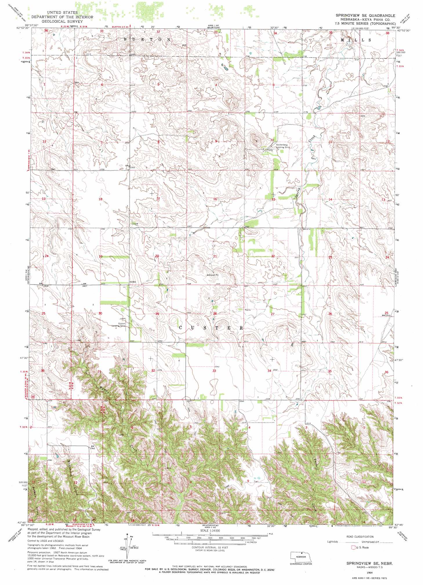
USGS Topo Quad 42099g5 - 1:24,000 scale
| Topo Map Name: | Springview Se |
| USGS Topo Quad ID: | 42099g5 |
| Print Size: | ca. 21 1/4" wide x 27" high |
| Southeast Coordinates: | 42.75° N latitude / 99.5° W longitude |
| Map Center Coordinates: | 42.8125° N latitude / 99.5625° W longitude |
| U.S. State: | NE |
| Filename: | O42099G5.jpg |
| Download Map JPG Image: | Springview Se topo map 1:24,000 scale |
| Map Type: | Topographic |
| Topo Series: | 7.5´ |
| Map Scale: | 1:24,000 |
| Source of Map Images: | United States Geological Survey (USGS) |
| Alternate Map Versions: |
Springview SE NE 1964, updated 1965 Download PDF Buy paper map Springview SE NE 2011 Download PDF Buy paper map Springview SE NE 2014 Download PDF Buy paper map |
1:24,000 Topo Quads surrounding Springview Se
Wewela |
Dallas Sw |
Paxton |
Carlock |
Gregory Se |
Meadville Ne |
Springview Nw |
Burton |
Mills |
Jamison |
Meadville |
Springview |
Springview Se |
Jamison Sw |
Mariaville |
Dutch Creek |
Bassett Nw |
Riverview |
Carns |
Newport Ne |
Ainsworth |
Long Pine |
Bassett |
Newport Sw |
Newport |
> Back to 42099e1 at 1:100,000 scale
> Back to 42098a1 at 1:250,000 scale
> Back to U.S. Topo Maps home
Springview Se digital topo map on disk
Buy this Springview Se topo map showing relief, roads, GPS coordinates and other geographical features, as a high-resolution digital map file on DVD: