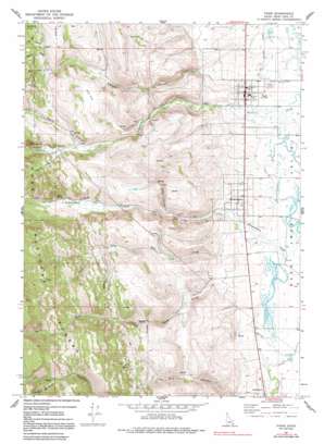
Paris Topo Map Idaho
To zoom in, hover over the map of Paris
USGS Topo Quad 42111b4 - 1:24,000 scale
| Topo Map Name: | Paris |
| USGS Topo Quad ID: | 42111b4 |
| Print Size: | ca. 21 1/4" wide x 27" high |
| Southeast Coordinates: | 42.125° N latitude / 111.375° W longitude |
| Map Center Coordinates: | 42.1875° N latitude / 111.4375° W longitude |
| U.S. State: | ID |
| Filename: | o42111b4.jpg |
| Download Map JPG Image: | Paris topo map 1:24,000 scale |
| Map Type: | Topographic |
| Topo Series: | 7.5´ |
| Map Scale: | 1:24,000 |
| Source of Map Images: | United States Geological Survey (USGS) |
| Alternate Map Versions: |
Paris ID 1967, updated 1968 Download PDF Buy paper map Paris ID 1967, updated 1978 Download PDF Buy paper map Paris ID 1967, updated 1991 Download PDF Buy paper map Paris ID 2005, updated 2007 Download PDF Buy paper map Paris ID 2011 Download PDF Buy paper map Paris ID 2013 Download PDF Buy paper map |
| FStopo: | US Forest Service topo Paris is available: Download FStopo PDF Download FStopo TIF |
1:24,000 Topo Quads surrounding Paris
> Back to 42111a1 at 1:100,000 scale
> Back to 42110a1 at 1:250,000 scale
> Back to U.S. Topo Maps home
Paris topo map: Gazetteer
Paris: Flats
Pine Flat elevation 2034m 6673′Paris: Mines
Boulder Mine elevation 2179m 7148′Clark Mine elevation 2048m 6719′
Paris: Populated Places
Bloomington elevation 1819m 5967′Paris elevation 1818m 5964′
Paris: Springs
Crib Spring elevation 2040m 6692′Jarvis Spring elevation 1933m 6341′
Paris Spring elevation 2005m 6578′
Paris: Streams
Big Creek elevation 1809m 5935′Dry Creek elevation 1838m 6030′
Limekiln Fork elevation 2147m 7043′
Worm Creek elevation 1830m 6003′
Paris: Valleys
First Hollow elevation 2034m 6673′Fourth Hollow elevation 2120m 6955′
Little Canyon elevation 1869m 6131′
Paris Canyon elevation 1819m 5967′
Second Hollow elevation 2060m 6758′
Sleight Canyon elevation 1827m 5994′
Telegraph Hollow elevation 1987m 6519′
Third Hollow elevation 2080m 6824′
Paris digital topo map on disk
Buy this Paris topo map showing relief, roads, GPS coordinates and other geographical features, as a high-resolution digital map file on DVD:


