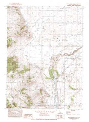
Grace Power Plant Topo Map Idaho
To zoom in, hover over the map of Grace Power Plant
USGS Topo Quad 42111e7 - 1:24,000 scale
| Topo Map Name: | Grace Power Plant |
| USGS Topo Quad ID: | 42111e7 |
| Print Size: | ca. 21 1/4" wide x 27" high |
| Southeast Coordinates: | 42.5° N latitude / 111.75° W longitude |
| Map Center Coordinates: | 42.5625° N latitude / 111.8125° W longitude |
| U.S. State: | ID |
| Filename: | o42111e7.jpg |
| Download Map JPG Image: | Grace Power Plant topo map 1:24,000 scale |
| Map Type: | Topographic |
| Topo Series: | 7.5´ |
| Map Scale: | 1:24,000 |
| Source of Map Images: | United States Geological Survey (USGS) |
| Alternate Map Versions: |
Grace Power Plant ID 1982, updated 1983 Download PDF Buy paper map Grace Power Plant ID 2010 Download PDF Buy paper map Grace Power Plant ID 2013 Download PDF Buy paper map |
1:24,000 Topo Quads surrounding Grace Power Plant
> Back to 42111e1 at 1:100,000 scale
> Back to 42110a1 at 1:250,000 scale
> Back to U.S. Topo Maps home
Grace Power Plant topo map: Gazetteer
Grace Power Plant: Canals
First West Lateral elevation 1676m 5498′North Extension Canal elevation 1701m 5580′
Tanner Canal elevation 1689m 5541′
West Branch Canal elevation 1708m 5603′
Grace Power Plant: Dams
Cove Dam elevation 1528m 5013′Grace Power Plant: Populated Places
China Hill elevation 1672m 5485′Telluride elevation 1587m 5206′
Turner elevation 1670m 5479′
Grace Power Plant: Springs
Kackley Spring elevation 1543m 5062′Grace Power Plant: Streams
Cottonwood Creek elevation 1802m 5912′Grace Power Plant: Valleys
Black Canyon elevation 1585m 5200′Cedar Hollow elevation 1593m 5226′
Wide Hollow elevation 1670m 5479′
Grace Power Plant digital topo map on disk
Buy this Grace Power Plant topo map showing relief, roads, GPS coordinates and other geographical features, as a high-resolution digital map file on DVD:


