Sawmill Creek Topo Map Idaho
To zoom in, hover over the map of Sawmill Creek
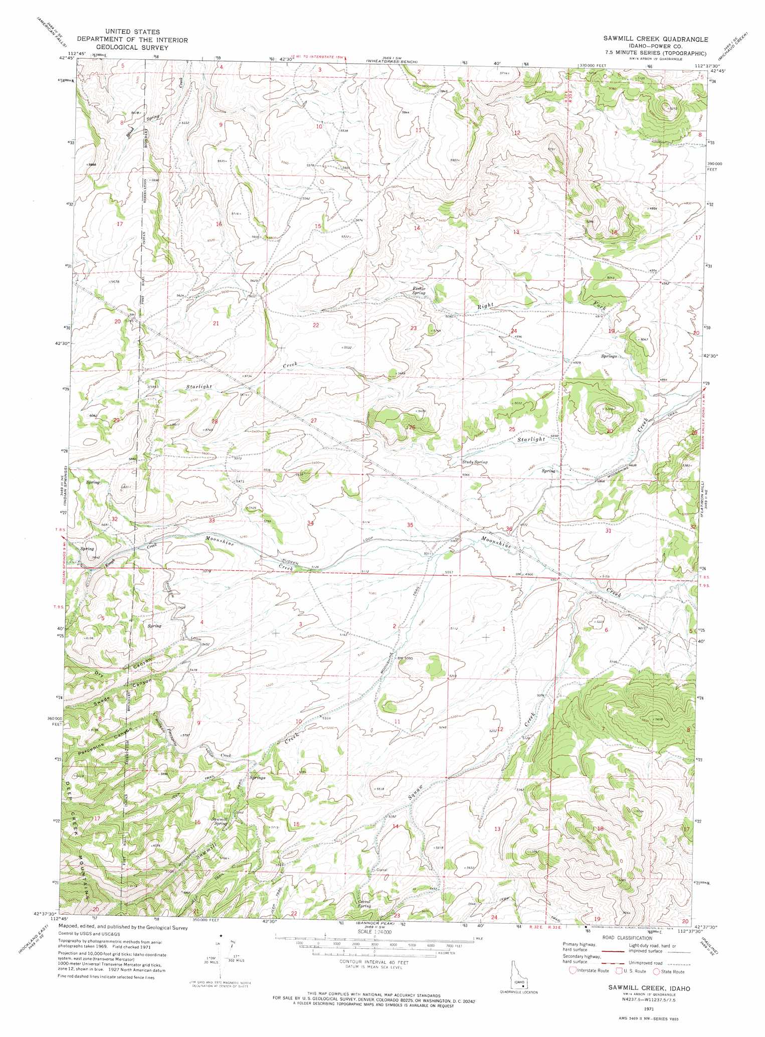
USGS Topo Quad 42112f6 - 1:24,000 scale
| Topo Map Name: | Sawmill Creek |
| USGS Topo Quad ID: | 42112f6 |
| Print Size: | ca. 21 1/4" wide x 27" high |
| Southeast Coordinates: | 42.625° N latitude / 112.625° W longitude |
| Map Center Coordinates: | 42.6875° N latitude / 112.6875° W longitude |
| U.S. State: | ID |
| Filename: | o42112f6.jpg |
| Download Map JPG Image: | Sawmill Creek topo map 1:24,000 scale |
| Map Type: | Topographic |
| Topo Series: | 7.5´ |
| Map Scale: | 1:24,000 |
| Source of Map Images: | United States Geological Survey (USGS) |
| Alternate Map Versions: |
Sawmill Creek ID 1971, updated 1974 Download PDF Buy paper map Sawmill Creek ID 2010 Download PDF Buy paper map Sawmill Creek ID 2013 Download PDF Buy paper map |
1:24,000 Topo Quads surrounding Sawmill Creek
American Falls Nw |
Aberdeen |
Schiller |
Michaud |
Pocatello North |
American Falls Sw |
American Falls |
Wheatgrass Bench |
Michaud Creek |
Pocatello South |
Neeley |
Indian Springs |
Sawmill Creek |
Flatiron Hill |
Clifton Creek |
Rockland West |
Rockland East |
Bannock Peak |
Pauline |
Bradley Mountain |
Hartley Peak |
Roy Ne |
Deep Creek Peak |
Arbon |
Dairy Creek |
> Back to 42112e1 at 1:100,000 scale
> Back to 42112a1 at 1:250,000 scale
> Back to U.S. Topo Maps home
Sawmill Creek topo map: Gazetteer
Sawmill Creek: Springs
Corral Spring elevation 1714m 5623′Fisher Spring elevation 1566m 5137′
Sawmill Spring elevation 1641m 5383′
Study Spring elevation 1517m 4977′
Sawmill Creek: Streams
Keogh Creek elevation 1621m 5318′Porcupine Creek elevation 1589m 5213′
Right Fork Starlight Creek elevation 1452m 4763′
Sawmill Creek elevation 1527m 5009′
Squaw Creek elevation 1500m 4921′
Sawmill Creek: Valleys
Dry Canyon elevation 1645m 5396′Porcupine Canyon elevation 1707m 5600′
Swede Canyon elevation 1658m 5439′
Sawmill Creek digital topo map on disk
Buy this Sawmill Creek topo map showing relief, roads, GPS coordinates and other geographical features, as a high-resolution digital map file on DVD: