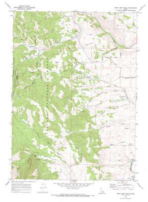
Bear Camp Gulch Topo Map Idaho
To zoom in, hover over the map of Bear Camp Gulch
USGS Topo Quad 42112g1 - 1:24,000 scale
| Topo Map Name: | Bear Camp Gulch |
| USGS Topo Quad ID: | 42112g1 |
| Print Size: | ca. 21 1/4" wide x 27" high |
| Southeast Coordinates: | 42.75° N latitude / 112° W longitude |
| Map Center Coordinates: | 42.8125° N latitude / 112.0625° W longitude |
| U.S. State: | ID |
| Filename: | o42112g1.jpg |
| Download Map JPG Image: | Bear Camp Gulch topo map 1:24,000 scale |
| Map Type: | Topographic |
| Topo Series: | 7.5´ |
| Map Scale: | 1:24,000 |
| Source of Map Images: | United States Geological Survey (USGS) |
| Alternate Map Versions: |
Bear Camp Gulch ID 1968, updated 1972 Download PDF Buy paper map Bear Camp Gulch ID 2011 Download PDF Buy paper map Bear Camp Gulch ID 2013 Download PDF Buy paper map |
| FStopo: | US Forest Service topo Bear Camp Gulch is available: Download FStopo PDF Download FStopo TIF |
1:24,000 Topo Quads surrounding Bear Camp Gulch
> Back to 42112e1 at 1:100,000 scale
> Back to 42112a1 at 1:250,000 scale
> Back to U.S. Topo Maps home
Bear Camp Gulch topo map: Gazetteer
Bear Camp Gulch: Lakes
Horse Lake elevation 2034m 6673′Bear Camp Gulch: Springs
Big Spring elevation 1937m 6354′Cold Spring elevation 2133m 6998′
Hornet Spring elevation 1889m 6197′
King Creek Spring elevation 1843m 6046′
Bear Camp Gulch: Valleys
Big Canyon elevation 1954m 6410′Blue Lake Gulch elevation 1913m 6276′
Deer Canyon elevation 1635m 5364′
Dry Gulch elevation 1806m 5925′
Dumont Canyon elevation 1681m 5515′
Gooding Canyon elevation 1710m 5610′
Hornet Canyon elevation 1888m 6194′
Long Gulch elevation 1888m 6194′
New Canyon elevation 1963m 6440′
Pine Hollow elevation 1695m 5561′
Trail Canyon elevation 1695m 5561′
Wood Road Gulch elevation 1649m 5410′
Bear Camp Gulch digital topo map on disk
Buy this Bear Camp Gulch topo map showing relief, roads, GPS coordinates and other geographical features, as a high-resolution digital map file on DVD:


