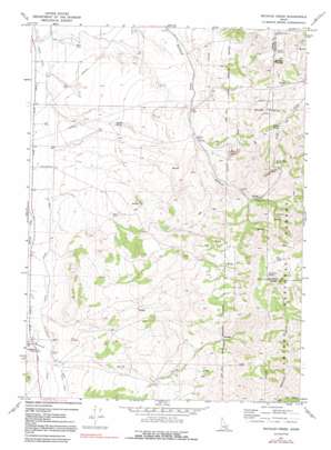
Michaud Creek Topo Map Idaho
To zoom in, hover over the map of Michaud Creek
USGS Topo Quad 42112g5 - 1:24,000 scale
| Topo Map Name: | Michaud Creek |
| USGS Topo Quad ID: | 42112g5 |
| Print Size: | ca. 21 1/4" wide x 27" high |
| Southeast Coordinates: | 42.75° N latitude / 112.5° W longitude |
| Map Center Coordinates: | 42.8125° N latitude / 112.5625° W longitude |
| U.S. State: | ID |
| Filename: | o42112g5.jpg |
| Download Map JPG Image: | Michaud Creek topo map 1:24,000 scale |
| Map Type: | Topographic |
| Topo Series: | 7.5´ |
| Map Scale: | 1:24,000 |
| Source of Map Images: | United States Geological Survey (USGS) |
| Alternate Map Versions: |
Michaud Creek ID 1971, updated 1974 Download PDF Buy paper map Michaud Creek ID 1971, updated 1992 Download PDF Buy paper map Michaud Creek ID 2011 Download PDF Buy paper map Michaud Creek ID 2013 Download PDF Buy paper map |
| FStopo: | US Forest Service topo Michaud Creek is available: Download FStopo PDF Download FStopo TIF |
1:24,000 Topo Quads surrounding Michaud Creek
> Back to 42112e1 at 1:100,000 scale
> Back to 42112a1 at 1:250,000 scale
> Back to U.S. Topo Maps home
Michaud Creek topo map: Gazetteer
Michaud Creek: Canals
School Lateral elevation 1393m 4570′Michaud Creek: Lakes
Horse Lake elevation 2154m 7066′Michaud Creek: Pillars
Eagletail Rock elevation 1396m 4580′Michaud Creek: Springs
Dead Cow Spring elevation 2087m 6847′Outlaw Spring elevation 1670m 5479′
Trail Creek Spring elevation 1775m 5823′
Wildcat Spring elevation 1437m 4714′
Michaud Creek: Streams
Birch Creek elevation 1398m 4586′Michaud Creek: Summits
Howard Mountain elevation 1767m 5797′Michaud Creek: Valleys
Pole Canyon elevation 1777m 5830′Michaud Creek digital topo map on disk
Buy this Michaud Creek topo map showing relief, roads, GPS coordinates and other geographical features, as a high-resolution digital map file on DVD:


