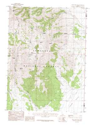
Black Pine Peak Topo Map Idaho
To zoom in, hover over the map of Black Pine Peak
USGS Topo Quad 42113a1 - 1:24,000 scale
| Topo Map Name: | Black Pine Peak |
| USGS Topo Quad ID: | 42113a1 |
| Print Size: | ca. 21 1/4" wide x 27" high |
| Southeast Coordinates: | 42° N latitude / 113° W longitude |
| Map Center Coordinates: | 42.0625° N latitude / 113.0625° W longitude |
| U.S. State: | ID |
| Filename: | o42113a1.jpg |
| Download Map JPG Image: | Black Pine Peak topo map 1:24,000 scale |
| Map Type: | Topographic |
| Topo Series: | 7.5´ |
| Map Scale: | 1:24,000 |
| Source of Map Images: | United States Geological Survey (USGS) |
| Alternate Map Versions: |
Black Pine Peak ID 1985, updated 1985 Download PDF Buy paper map Black Pine Peak ID 2011 Download PDF Buy paper map Black Pine Peak ID 2013 Download PDF Buy paper map |
| FStopo: | US Forest Service topo Black Pine Peak is available: Download FStopo PDF Download FStopo TIF |
1:24,000 Topo Quads surrounding Black Pine Peak
> Back to 42113a1 at 1:100,000 scale
> Back to 42112a1 at 1:250,000 scale
> Back to U.S. Topo Maps home
Black Pine Peak topo map: Gazetteer
Black Pine Peak: Basins
Burnt Basin elevation 1639m 5377′Black Pine Peak: Mines
Hazel Pine Mine elevation 1801m 5908′Ruth Mine elevation 2084m 6837′
Silver Hills Mine elevation 2186m 7171′
Tallman Mine elevation 1915m 6282′
Black Pine Peak: Springs
Black Pine Spring elevation 2040m 6692′Corral Spring elevation 1894m 6213′
Formation Springs elevation 2057m 6748′
Lost Tunnel Spring elevation 1930m 6332′
Middle Ridge Spring elevation 2031m 6663′
Pollard Spring elevation 1942m 6371′
Rice Canyon Spring elevation 2207m 7240′
Silver Hills Spring elevation 2144m 7034′
Black Pine Peak: Summits
Black Pine Cone elevation 2432m 7979′Black Pine Peak elevation 2845m 9333′
War Eagle Peak elevation 2640m 8661′
Black Pine Peak: Valleys
Black Pine Canyon elevation 1626m 5334′East Dry Canyon elevation 1810m 5938′
Formation Canyon elevation 1630m 5347′
Mineral Gulch elevation 1613m 5291′
Rice Canyon elevation 1597m 5239′
Black Pine Peak digital topo map on disk
Buy this Black Pine Peak topo map showing relief, roads, GPS coordinates and other geographical features, as a high-resolution digital map file on DVD:


