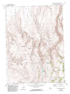
Mcmullen Basin Topo Map Idaho
To zoom in, hover over the map of Mcmullen Basin
USGS Topo Quad 42114c4 - 1:24,000 scale
| Topo Map Name: | Mcmullen Basin |
| USGS Topo Quad ID: | 42114c4 |
| Print Size: | ca. 21 1/4" wide x 27" high |
| Southeast Coordinates: | 42.25° N latitude / 114.375° W longitude |
| Map Center Coordinates: | 42.3125° N latitude / 114.4375° W longitude |
| U.S. State: | ID |
| Filename: | o42114c4.jpg |
| Download Map JPG Image: | Mcmullen Basin topo map 1:24,000 scale |
| Map Type: | Topographic |
| Topo Series: | 7.5´ |
| Map Scale: | 1:24,000 |
| Source of Map Images: | United States Geological Survey (USGS) |
| Alternate Map Versions: |
Mc Mullen Basin ID 1965, updated 1967 Download PDF Buy paper map McMullen Basin ID 1965, updated 1992 Download PDF Buy paper map McMullen Basin ID 2001, updated 2006 Download PDF Buy paper map McMullen Basin ID 2011 Download PDF Buy paper map McMullen Basin ID 2013 Download PDF Buy paper map |
| FStopo: | US Forest Service topo McMullen Basin is available: Download FStopo PDF Download FStopo TIF |
1:24,000 Topo Quads surrounding Mcmullen Basin
> Back to 42114a1 at 1:100,000 scale
> Back to 42114a1 at 1:250,000 scale
> Back to U.S. Topo Maps home
Mcmullen Basin topo map: Gazetteer
Mcmullen Basin: Basins
Cottonwood Basin elevation 1777m 5830′Horse Basin elevation 1754m 5754′
McMullen Basin elevation 1875m 6151′
Mcmullen Basin: Dams
Williams Dam elevation 1750m 5741′Mcmullen Basin: Reservoirs
Curtis Reservoir elevation 1626m 5334′Dry Cottonwood Reservoir elevation 1719m 5639′
Dry Fork Reservoir elevation 1511m 4957′
Upper Burnt Creek Reservoir elevation 1701m 5580′
Williams Reservoir elevation 1750m 5741′
Mcmullen Basin: Ridges
North Cottonwood Ridge elevation 1864m 6115′Mcmullen Basin: Springs
Arkansas Spring elevation 1757m 5764′Basin Spring elevation 1907m 6256′
Cottonwood Ridge Spring elevation 1825m 5987′
Goat Springs elevation 1741m 5711′
Grassy Spring elevation 1755m 5757′
Hoops Spring elevation 1573m 5160′
Horse Basin Spring elevation 1720m 5643′
Lunch Spring elevation 1839m 6033′
Moonshine Spring elevation 1571m 5154′
Rice Creek Spring elevation 1652m 5419′
Rimrock Spring elevation 1748m 5734′
Squaw Joe Spring elevation 1681m 5515′
Williams Spring elevation 1756m 5761′
Williams Spring elevation 1750m 5741′
Mcmullen Basin: Streams
Burnt Creek elevation 1433m 4701′Donahue Creek elevation 1583m 5193′
North Willow Springs Creek elevation 1416m 4645′
Mcmullen Basin digital topo map on disk
Buy this Mcmullen Basin topo map showing relief, roads, GPS coordinates and other geographical features, as a high-resolution digital map file on DVD:


