Yahoo Creek Topo Map Idaho
To zoom in, hover over the map of Yahoo Creek
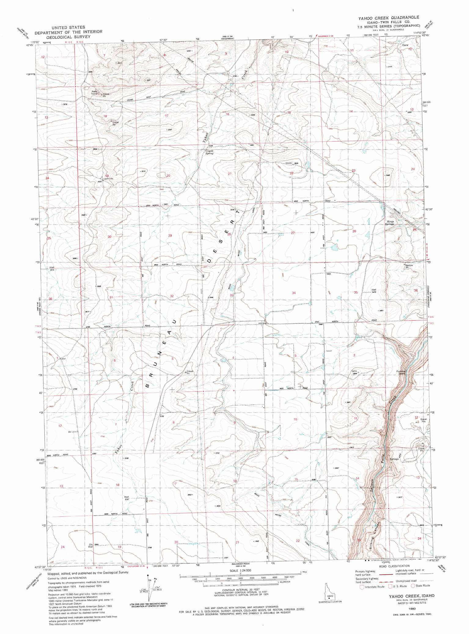
USGS Topo Quad 42114f8 - 1:24,000 scale
| Topo Map Name: | Yahoo Creek |
| USGS Topo Quad ID: | 42114f8 |
| Print Size: | ca. 21 1/4" wide x 27" high |
| Southeast Coordinates: | 42.625° N latitude / 114.875° W longitude |
| Map Center Coordinates: | 42.6875° N latitude / 114.9375° W longitude |
| U.S. State: | ID |
| Filename: | o42114f8.jpg |
| Download Map JPG Image: | Yahoo Creek topo map 1:24,000 scale |
| Map Type: | Topographic |
| Topo Series: | 7.5´ |
| Map Scale: | 1:24,000 |
| Source of Map Images: | United States Geological Survey (USGS) |
| Alternate Map Versions: |
Yahoo Creek ID 1980, updated 1981 Download PDF Buy paper map Yahoo Creek ID 2010 Download PDF Buy paper map Yahoo Creek ID 2013 Download PDF Buy paper map |
1:24,000 Topo Quads surrounding Yahoo Creek
Pasadena Valley |
Ticeska |
Bliss |
Gooding Butte |
Gooding |
Twentymile Butte |
Indian Butte |
Hagerman |
Tuttle |
Wendell |
Notch Butte |
Crows Nest Ne |
Yahoo Creek |
Thousand Springs |
Niagara Springs |
Crows Nest |
Castleford Butte |
Balanced Rock |
Buhl |
Clover |
Horse Butte |
Coonskin Butte Ne |
Tuanna Butte |
Roseworth Ne |
Berger Butte |
> Back to 42114e1 at 1:100,000 scale
> Back to 42114a1 at 1:250,000 scale
> Back to U.S. Topo Maps home
Yahoo Creek topo map: Gazetteer
Yahoo Creek: Canals
Magic Water Canal elevation 1097m 3599′Magic Water Canal elevation 1095m 3592′
Yahoo Creek: Springs
Coyote Spring elevation 1016m 3333′Rings Springs elevation 1004m 3293′
Yahoo Creek digital topo map on disk
Buy this Yahoo Creek topo map showing relief, roads, GPS coordinates and other geographical features, as a high-resolution digital map file on DVD: