Tunupa Topo Map Idaho
To zoom in, hover over the map of Tunupa
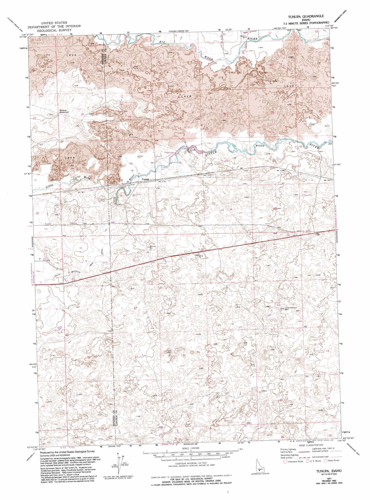
USGS Topo Quad 42114h5 - 1:24,000 scale
| Topo Map Name: | Tunupa |
| USGS Topo Quad ID: | 42114h5 |
| Print Size: | ca. 21 1/4" wide x 27" high |
| Southeast Coordinates: | 42.875° N latitude / 114.5° W longitude |
| Map Center Coordinates: | 42.9375° N latitude / 114.5625° W longitude |
| U.S. State: | ID |
| Filename: | o42114h5.jpg |
| Download Map JPG Image: | Tunupa topo map 1:24,000 scale |
| Map Type: | Topographic |
| Topo Series: | 7.5´ |
| Map Scale: | 1:24,000 |
| Source of Map Images: | United States Geological Survey (USGS) |
| Alternate Map Versions: |
Tunupa ID 1971, updated 1974 Download PDF Buy paper map Tunupa ID 1971, updated 1993 Download PDF Buy paper map Tunupa ID 2010 Download PDF Buy paper map Tunupa ID 2013 Download PDF Buy paper map |
1:24,000 Topo Quads surrounding Tunupa
Fir Grove Mountain |
Mchan Reservoir |
Thorn Creek Reservoir |
Summit Reservoir |
Shoshone Ice Cave |
Mckinney Butte |
Thorn Creek Sw |
Thorn Creek Se |
Mammoth Cave |
Kinzie Butte |
Gooding Butte |
Gooding |
Tunupa |
Shoshone |
Dietrich |
Tuttle |
Wendell |
Gooding Se |
Shoshone Sw |
Shoshone Se |
Thousand Springs |
Niagara Springs |
Jerome |
Falls City |
Twin Falls Ne |
> Back to 42114e1 at 1:100,000 scale
> Back to 42114a1 at 1:250,000 scale
> Back to U.S. Topo Maps home
Tunupa topo map: Gazetteer
Tunupa: Populated Places
Tunupa elevation 1132m 3713′Tunupa: Reservoirs
Sliman Reservoir elevation 1114m 3654′Tunupa: Wells
Jones Wendell Well elevation 1181m 3874′Tunupa digital topo map on disk
Buy this Tunupa topo map showing relief, roads, GPS coordinates and other geographical features, as a high-resolution digital map file on DVD: