Blitzen Sw Topo Map Oregon
To zoom in, hover over the map of Blitzen Sw
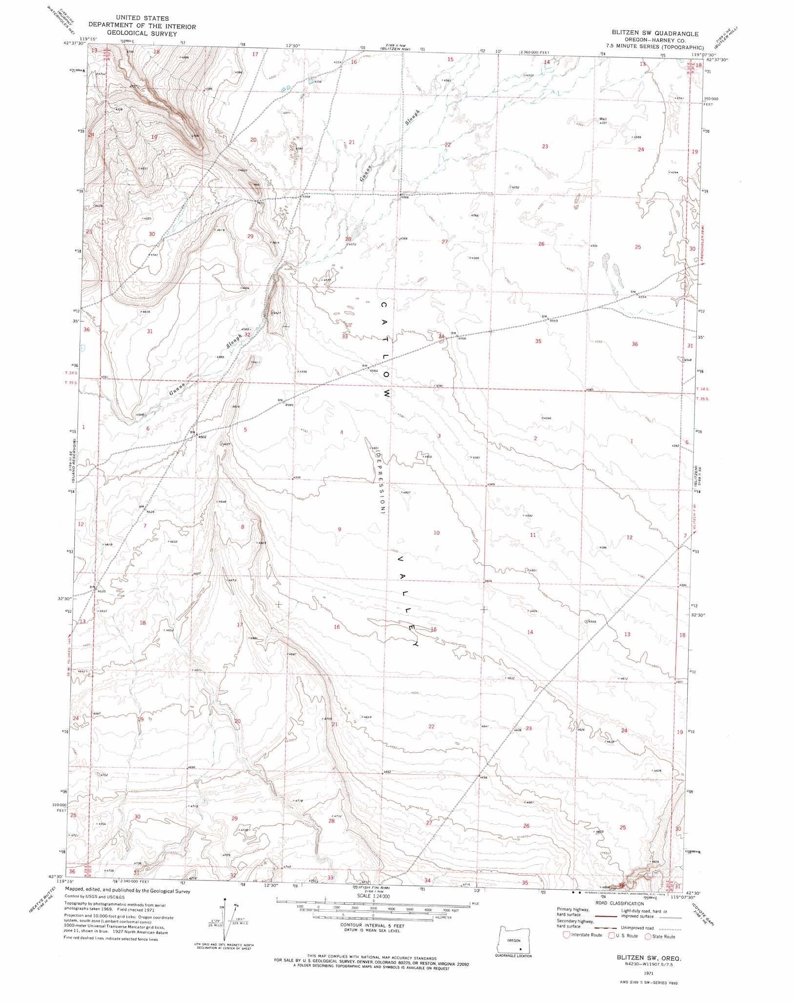
USGS Topo Quad 42119e2 - 1:24,000 scale
| Topo Map Name: | Blitzen Sw |
| USGS Topo Quad ID: | 42119e2 |
| Print Size: | ca. 21 1/4" wide x 27" high |
| Southeast Coordinates: | 42.5° N latitude / 119.125° W longitude |
| Map Center Coordinates: | 42.5625° N latitude / 119.1875° W longitude |
| U.S. State: | OR |
| Filename: | o42119e2.jpg |
| Download Map JPG Image: | Blitzen Sw topo map 1:24,000 scale |
| Map Type: | Topographic |
| Topo Series: | 7.5´ |
| Map Scale: | 1:24,000 |
| Source of Map Images: | United States Geological Survey (USGS) |
| Alternate Map Versions: |
Blitzen SW OR 1971, updated 1974 Download PDF Buy paper map Blitzen SW OR 2011 Download PDF Buy paper map Blitzen SW OR 2014 Download PDF Buy paper map |
1:24,000 Topo Quads surrounding Blitzen Sw
Orejana Canyon |
Duhaime Flat West |
Duhaime Flat East |
Walls Lake |
Frenchglen |
Sixmile Draw |
Murphy Waterholes Ne |
Blitzen Nw |
Butler Hill |
Roaring Springs |
Murphy Waterholes |
Guano Reservoir |
Blitzen Sw |
Blitzen |
Home Creek Butte |
Beatys Butte Nw |
Beatys Butte |
Fish Fin Rim |
Coyote Gap |
Garrison Lake |
Lone Grave Butte |
Mahogany Butte |
Surveyors Lake |
Coyote Gap Se |
Square Mountain |
> Back to 42119e1 at 1:100,000 scale
> Back to 42118a1 at 1:250,000 scale
> Back to U.S. Topo Maps home
No gazetteer data is available for the Blitzen Sw topo map sheet.
Blitzen Sw digital topo map on disk
Buy this Blitzen Sw topo map showing relief, roads, GPS coordinates and other geographical features, as a high-resolution digital map file on DVD: