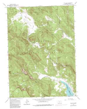
Cox Flat Topo Map Oregon
To zoom in, hover over the map of Cox Flat
USGS Topo Quad 42120c5 - 1:24,000 scale
| Topo Map Name: | Cox Flat |
| USGS Topo Quad ID: | 42120c5 |
| Print Size: | ca. 21 1/4" wide x 27" high |
| Southeast Coordinates: | 42.25° N latitude / 120.5° W longitude |
| Map Center Coordinates: | 42.3125° N latitude / 120.5625° W longitude |
| U.S. State: | OR |
| Filename: | o42120c5.jpg |
| Download Map JPG Image: | Cox Flat topo map 1:24,000 scale |
| Map Type: | Topographic |
| Topo Series: | 7.5´ |
| Map Scale: | 1:24,000 |
| Source of Map Images: | United States Geological Survey (USGS) |
| Alternate Map Versions: |
Cox Flat OR 1964, updated 1965 Download PDF Buy paper map Cox Flat OR 1964, updated 1978 Download PDF Buy paper map Cox Flat OR 1964, updated 1980 Download PDF Buy paper map Cox Flat OR 1964, updated 1983 Download PDF Buy paper map Cox Flat OR 2004, updated 2007 Download PDF Buy paper map Cox Flat OR 2011 Download PDF Buy paper map Cox Flat OR 2014 Download PDF Buy paper map |
| FStopo: | US Forest Service topo Cox Flat is available: Download FStopo PDF Download FStopo TIF |
1:24,000 Topo Quads surrounding Cox Flat
> Back to 42120a1 at 1:100,000 scale
> Back to 42120a1 at 1:250,000 scale
> Back to U.S. Topo Maps home
Cox Flat topo map: Gazetteer
Cox Flat: Flats
Cox Flat elevation 1726m 5662′Cox Flat: Lakes
Paradise Lake elevation 1822m 5977′Cox Flat: Mines
Lucky Lass Mine elevation 1879m 6164′White King Mine elevation 1803m 5915′
Cox Flat: Parks
Cottonwood Reservoir County Park elevation 1558m 5111′Cox Flat: Springs
Boggs Spring elevation 2047m 6715′Cougar Springs elevation 2005m 6578′
Hunters Spring elevation 1609m 5278′
Mammoth Spring elevation 1829m 6000′
Snake Spring elevation 1969m 6459′
Cox Flat: Streams
Cold Creek elevation 1643m 5390′Helphenstein Creek elevation 1548m 5078′
Mesman Creek elevation 1564m 5131′
Tom Young Creek elevation 1592m 5223′
Cox Flat digital topo map on disk
Buy this Cox Flat topo map showing relief, roads, GPS coordinates and other geographical features, as a high-resolution digital map file on DVD:


