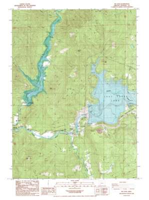
Mcleod Topo Map Oregon
To zoom in, hover over the map of Mcleod
USGS Topo Quad 42122f6 - 1:24,000 scale
| Topo Map Name: | Mcleod |
| USGS Topo Quad ID: | 42122f6 |
| Print Size: | ca. 21 1/4" wide x 27" high |
| Southeast Coordinates: | 42.625° N latitude / 122.625° W longitude |
| Map Center Coordinates: | 42.6875° N latitude / 122.6875° W longitude |
| U.S. State: | OR |
| Filename: | o42122f6.jpg |
| Download Map JPG Image: | Mcleod topo map 1:24,000 scale |
| Map Type: | Topographic |
| Topo Series: | 7.5´ |
| Map Scale: | 1:24,000 |
| Source of Map Images: | United States Geological Survey (USGS) |
| Alternate Map Versions: |
Mc Leod OR 1988, updated 1988 Download PDF Buy paper map Mc Leod OR 1997, updated 2000 Download PDF Buy paper map McLeod OR 2011 Download PDF Buy paper map McLeod OR 2014 Download PDF Buy paper map |
| FStopo: | US Forest Service topo McLeod is available: Download FStopo PDF Download FStopo TIF |
1:24,000 Topo Quads surrounding Mcleod
> Back to 42122e1 at 1:100,000 scale
> Back to 42122a1 at 1:250,000 scale
> Back to U.S. Topo Maps home
Mcleod topo map: Gazetteer
Mcleod: Dams
Elk Creek Dam elevation 528m 1732′Lost Creek Dam elevation 572m 1876′
Mcleod: Parks
Casey State Park elevation 508m 1666′McGregor Park elevation 477m 1564′
McLeod Wayside elevation 482m 1581′
Rivers Edge Park elevation 483m 1584′
Mcleod: Pillars
Yellow Rock elevation 819m 2687′Mcleod: Populated Places
McLeod elevation 477m 1564′Mcleod: Post Offices
Alcoe Post Office (historical) elevation 527m 1729′Peyton Post Office (historical) elevation 701m 2299′
Mcleod: Reservoirs
Elk Creek Lake elevation 528m 1732′Elk Creek Reservoir elevation 650m 2132′
Lost Creek Lake elevation 572m 1876′
Mcleod: Springs
Berrian Spring elevation 511m 1676′Mcleod: Streams
Alco Creek elevation 527m 1729′Berry Creek elevation 451m 1479′
Big Butte Creek elevation 476m 1561′
Fall Creek elevation 628m 2060′
Floras Creek elevation 572m 1876′
Lost Creek elevation 572m 1876′
Lost Creek elevation 572m 1876′
Middle Creek elevation 527m 1729′
Rumley Creek elevation 572m 1876′
Spot Creek elevation 546m 1791′
Vine Creek elevation 495m 1624′
West Branch Elk Creek elevation 527m 1729′
Mcleod: Summits
Burnt Peak elevation 1085m 3559′Camel Hump elevation 945m 3100′
Fawn Butte elevation 725m 2378′
Tatouche Peak elevation 926m 3038′
Mcleod: Valleys
Blue Gulch elevation 572m 1876′Yellow Rock Canyon elevation 527m 1729′
Mcleod digital topo map on disk
Buy this Mcleod topo map showing relief, roads, GPS coordinates and other geographical features, as a high-resolution digital map file on DVD:


