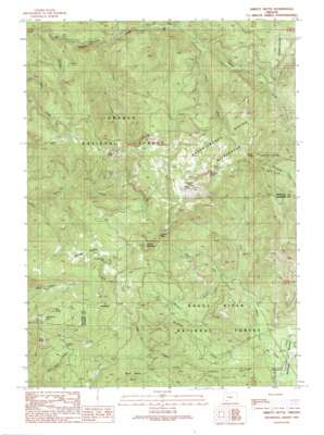
Abbott Butte Topo Map Oregon
To zoom in, hover over the map of Abbott Butte
USGS Topo Quad 42122h5 - 1:24,000 scale
| Topo Map Name: | Abbott Butte |
| USGS Topo Quad ID: | 42122h5 |
| Print Size: | ca. 21 1/4" wide x 27" high |
| Southeast Coordinates: | 42.875° N latitude / 122.5° W longitude |
| Map Center Coordinates: | 42.9375° N latitude / 122.5625° W longitude |
| U.S. State: | OR |
| Filename: | o42122h5.jpg |
| Download Map JPG Image: | Abbott Butte topo map 1:24,000 scale |
| Map Type: | Topographic |
| Topo Series: | 7.5´ |
| Map Scale: | 1:24,000 |
| Source of Map Images: | United States Geological Survey (USGS) |
| Alternate Map Versions: |
Abbott Butte OR 1989, updated 1990 Download PDF Buy paper map Abbott Butte OR 1998, updated 2000 Download PDF Buy paper map Abbott Butte OR 2011 Download PDF Buy paper map Abbott Butte OR 2014 Download PDF Buy paper map |
| FStopo: | US Forest Service topo Abbott Butte is available: Download FStopo PDF Download FStopo TIF |
1:24,000 Topo Quads surrounding Abbott Butte
> Back to 42122e1 at 1:100,000 scale
> Back to 42122a1 at 1:250,000 scale
> Back to U.S. Topo Maps home
Abbott Butte topo map: Gazetteer
Abbott Butte: Areas
Buck Basin Burn elevation 1330m 4363′Abbott Butte: Cliffs
Elephant Head elevation 1707m 5600′Abbott Butte: Flats
Donegan Prairies elevation 1552m 5091′Woodruff Meadow elevation 928m 3044′
Abbott Butte: Gaps
Huckleberry Gap elevation 1619m 5311′Windy Gap elevation 1558m 5111′
Abbott Butte: Parks
Abbott Creek Research Natural Area elevation 1209m 3966′Abbott Butte: Pillars
Grey Rock elevation 1591m 5219′Abbott Butte: Springs
Neal Spring elevation 1604m 5262′Abbott Butte: Streams
Abbott Creek elevation 840m 2755′Cougar Creek elevation 733m 2404′
DeWitt Creek elevation 1003m 3290′
Falcon Creek elevation 803m 2634′
Little Sunshine Creek elevation 922m 3024′
McCall Creek elevation 943m 3093′
North Fork Abbott Creek elevation 999m 3277′
Paradise Creek elevation 634m 2080′
Red Fir Creek elevation 1081m 3546′
Sunshine Creek elevation 935m 3067′
West Fork Abbott Creek elevation 1033m 3389′
Woodruff Creek elevation 920m 3018′
Abbott Butte: Summits
Abbott Butte elevation 1867m 6125′Cougar Butte elevation 1643m 5390′
Falcon Butte elevation 1585m 5200′
Quartz Mountain elevation 1726m 5662′
Whaleback elevation 1760m 5774′
Abbott Butte: Swamps
Huckleberry Lake elevation 1564m 5131′Abbott Butte: Trails
Golden Stairs Trail elevation 1514m 4967′Sandstone Trail elevation 1085m 3559′
Umpqua Rogue Trail elevation 1589m 5213′
Abbott Butte digital topo map on disk
Buy this Abbott Butte topo map showing relief, roads, GPS coordinates and other geographical features, as a high-resolution digital map file on DVD:


