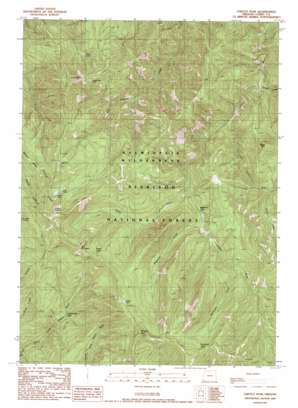
Chetco Peak Topo Map Oregon
To zoom in, hover over the map of Chetco Peak
USGS Topo Quad 42123b8 - 1:24,000 scale
| Topo Map Name: | Chetco Peak |
| USGS Topo Quad ID: | 42123b8 |
| Print Size: | ca. 21 1/4" wide x 27" high |
| Southeast Coordinates: | 42.125° N latitude / 123.875° W longitude |
| Map Center Coordinates: | 42.1875° N latitude / 123.9375° W longitude |
| U.S. State: | OR |
| Filename: | o42123b8.jpg |
| Download Map JPG Image: | Chetco Peak topo map 1:24,000 scale |
| Map Type: | Topographic |
| Topo Series: | 7.5´ |
| Map Scale: | 1:24,000 |
| Source of Map Images: | United States Geological Survey (USGS) |
| Alternate Map Versions: |
Chetco Peak OR 1989, updated 1989 Download PDF Buy paper map Chetco Peak OR 1998, updated 2001 Download PDF Buy paper map Chetco Peak OR 2011 Download PDF Buy paper map Chetco Peak OR 2014 Download PDF Buy paper map |
| FStopo: | US Forest Service topo Chetco Peak is available: Download FStopo PDF Download FStopo TIF |
1:24,000 Topo Quads surrounding Chetco Peak
> Back to 42123a1 at 1:100,000 scale
> Back to 42122a1 at 1:250,000 scale
> Back to U.S. Topo Maps home
Chetco Peak topo map: Gazetteer
Chetco Peak: Lakes
Chetco Lake elevation 1210m 3969′Lish Lake elevation 1154m 3786′
Little Vulcan Lake elevation 1253m 4110′
Salamander Lake elevation 1054m 3458′
Valen Lake elevation 766m 2513′
Vulcan Lake elevation 1196m 3923′
Chetco Peak: Mines
Gardner Mine elevation 1200m 3937′Chetco Peak: Streams
Brokencot Creek elevation 750m 2460′Carter Creek elevation 485m 1591′
Fresno Creek elevation 591m 1938′
Henry Creek elevation 679m 2227′
Little Chetco River elevation 561m 1840′
Madstone Creek elevation 635m 2083′
Chetco Peak: Summits
Bailey Mountain elevation 1106m 3628′Chetco Peak elevation 1321m 4333′
Dry Butte elevation 1200m 3937′
Red Mountain elevation 1327m 4353′
Vulcan Peak elevation 1412m 4632′
Chetco Peak: Trails
Chetco Peak Trail elevation 1145m 3756′Chetco Peak digital topo map on disk
Buy this Chetco Peak topo map showing relief, roads, GPS coordinates and other geographical features, as a high-resolution digital map file on DVD:


