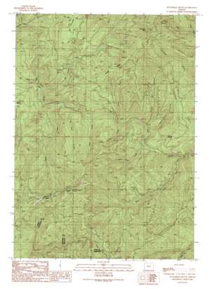
Dutchman Butte Topo Map Oregon
To zoom in, hover over the map of Dutchman Butte
USGS Topo Quad 42123g6 - 1:24,000 scale
| Topo Map Name: | Dutchman Butte |
| USGS Topo Quad ID: | 42123g6 |
| Print Size: | ca. 21 1/4" wide x 27" high |
| Southeast Coordinates: | 42.75° N latitude / 123.625° W longitude |
| Map Center Coordinates: | 42.8125° N latitude / 123.6875° W longitude |
| U.S. State: | OR |
| Filename: | o42123g6.jpg |
| Download Map JPG Image: | Dutchman Butte topo map 1:24,000 scale |
| Map Type: | Topographic |
| Topo Series: | 7.5´ |
| Map Scale: | 1:24,000 |
| Source of Map Images: | United States Geological Survey (USGS) |
| Alternate Map Versions: |
Dutchman Butte OR 1990, updated 1990 Download PDF Buy paper map Dutchman Butte OR 2011 Download PDF Buy paper map Dutchman Butte OR 2014 Download PDF Buy paper map |
1:24,000 Topo Quads surrounding Dutchman Butte
> Back to 42123e1 at 1:100,000 scale
> Back to 42122a1 at 1:250,000 scale
> Back to U.S. Topo Maps home
Dutchman Butte topo map: Gazetteer
Dutchman Butte: Airports
Calvert Peak airstrip elevation 1151m 3776′Dutchman Butte: Flats
Jackass Prairie elevation 560m 1837′Walker Prairie elevation 675m 2214′
Dutchman Butte: Ridges
Hayes Ridge elevation 911m 2988′Dutchman Butte: Springs
Ninemile Spring elevation 1050m 3444′Dutchman Butte: Streams
Bear Creek elevation 355m 1164′Bobby Creek elevation 407m 1335′
Elk Valley Creek elevation 437m 1433′
Goat Trail Creek elevation 348m 1141′
Hayes Creek elevation 365m 1197′
Honeysuckle Creek elevation 374m 1227′
Jacob Creek elevation 330m 1082′
No Sweat Creek elevation 429m 1407′
North Fork Darby Creek elevation 459m 1505′
Slotted Pen Creek elevation 358m 1174′
Soldier Creek elevation 400m 1312′
Sweat Creek elevation 397m 1302′
West Fork Darby Creek elevation 459m 1505′
Dutchman Butte: Summits
Dutchman Butte elevation 1188m 3897′Ninemile Mountain elevation 1204m 3950′
Dutchman Butte digital topo map on disk
Buy this Dutchman Butte topo map showing relief, roads, GPS coordinates and other geographical features, as a high-resolution digital map file on DVD:


