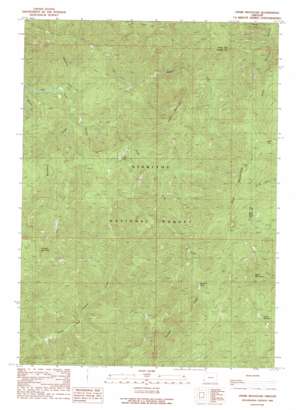
Ophir Mountain Topo Map Oregon
To zoom in, hover over the map of Ophir Mountain
USGS Topo Quad 42124f2 - 1:24,000 scale
| Topo Map Name: | Ophir Mountain |
| USGS Topo Quad ID: | 42124f2 |
| Print Size: | ca. 21 1/4" wide x 27" high |
| Southeast Coordinates: | 42.625° N latitude / 124.125° W longitude |
| Map Center Coordinates: | 42.6875° N latitude / 124.1875° W longitude |
| U.S. State: | OR |
| Filename: | o42124f2.jpg |
| Download Map JPG Image: | Ophir Mountain topo map 1:24,000 scale |
| Map Type: | Topographic |
| Topo Series: | 7.5´ |
| Map Scale: | 1:24,000 |
| Source of Map Images: | United States Geological Survey (USGS) |
| Alternate Map Versions: |
Ophir Mountain OR 1989, updated 1989 Download PDF Buy paper map Ophir Mountain OR 1998, updated 2001 Download PDF Buy paper map Ophir Mountain OR 2011 Download PDF Buy paper map Ophir Mountain OR 2014 Download PDF Buy paper map |
| FStopo: | US Forest Service topo Ophir Mountain is available: Download FStopo PDF Download FStopo TIF |
1:24,000 Topo Quads surrounding Ophir Mountain
> Back to 42124e1 at 1:100,000 scale
> Back to 42124a1 at 1:250,000 scale
> Back to U.S. Topo Maps home
Ophir Mountain topo map: Gazetteer
Ophir Mountain: Basins
Bonanza Basin elevation 733m 2404′Ophir Mountain: Lakes
Laird Lake elevation 540m 1771′Mud Lake elevation 1164m 3818′
Ophir Mountain: Streams
Blackberry Creek elevation 233m 764′Bungalow Creek elevation 228m 748′
Marys Creek elevation 511m 1676′
McCurdy Creek elevation 248m 813′
North Fork Elk River elevation 302m 990′
Slide Creek elevation 322m 1056′
South Fork Elk River elevation 274m 898′
Ophir Mountain: Summits
Copper Mountain elevation 1027m 3369′Devils Half Acre elevation 1071m 3513′
Iron Mountain elevation 1214m 3982′
Ophir Mountain elevation 1187m 3894′
Panther Mountain elevation 995m 3264′
Ophir Mountain digital topo map on disk
Buy this Ophir Mountain topo map showing relief, roads, GPS coordinates and other geographical features, as a high-resolution digital map file on DVD:


