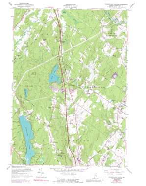
Cumberland Center Topo Map Maine
To zoom in, hover over the map of Cumberland Center
USGS Topo Quad 43070g3 - 1:24,000 scale
| Topo Map Name: | Cumberland Center |
| USGS Topo Quad ID: | 43070g3 |
| Print Size: | ca. 21 1/4" wide x 27" high |
| Southeast Coordinates: | 43.75° N latitude / 70.25° W longitude |
| Map Center Coordinates: | 43.8125° N latitude / 70.3125° W longitude |
| U.S. State: | ME |
| Filename: | o43070g3.jpg |
| Download Map JPG Image: | Cumberland Center topo map 1:24,000 scale |
| Map Type: | Topographic |
| Topo Series: | 7.5´ |
| Map Scale: | 1:24,000 |
| Source of Map Images: | United States Geological Survey (USGS) |
| Alternate Map Versions: |
Cumberland Center ME 1957, updated 1959 Download PDF Buy paper map Cumberland Center ME 1957, updated 1971 Download PDF Buy paper map Cumberland Center ME 1957, updated 1989 Download PDF Buy paper map Cumberland Center ME 1957, updated 1989 Download PDF Buy paper map Cumberland Center ME 2011 Download PDF Buy paper map Cumberland Center ME 2014 Download PDF Buy paper map |
1:24,000 Topo Quads surrounding Cumberland Center
> Back to 43070e1 at 1:100,000 scale
> Back to 43070a1 at 1:250,000 scale
> Back to U.S. Topo Maps home
Cumberland Center topo map: Gazetteer
Cumberland Center: Benches
Verrills Ledges elevation 109m 357′Cumberland Center: Dams
Knights Pond Dam elevation 90m 295′Cumberland Center: Lakes
Blanchard Pond elevation 46m 150′Forest Lake elevation 84m 275′
Highland Lake elevation 58m 190′
Little Duck Pond elevation 118m 387′
Cumberland Center: Populated Places
Blackstrap elevation 125m 410′Cumberland Center elevation 57m 187′
Cumberland Center Station elevation 16m 52′
North Falmouth elevation 111m 364′
Scotland elevation 66m 216′
South Gray elevation 105m 344′
West Cumberland elevation 91m 298′
Cumberland Center: Reservoirs
Knights Pond elevation 90m 295′Cumberland Center: Streams
Deer Brook elevation 20m 65′Hobbs Brook elevation 28m 91′
McIntosh Brook elevation 58m 190′
Thayer Brook elevation 65m 213′
Wiggins Brook elevation 76m 249′
Cumberland Center: Summits
Atherton Hill elevation 178m 583′Blackstrap Hill elevation 151m 495′
Bruce Hill elevation 136m 446′
Dutton Hill elevation 175m 574′
Hunt Hill elevation 153m 501′
Jones Hill elevation 118m 387′
Libby Hill elevation 144m 472′
Poplar Ridge elevation 133m 436′
Varney Hill elevation 124m 406′
Walnut Hill elevation 129m 423′
Cumberland Center: Swamps
Gray Meadow elevation 77m 252′Cumberland Center digital topo map on disk
Buy this Cumberland Center topo map showing relief, roads, GPS coordinates and other geographical features, as a high-resolution digital map file on DVD:
Maine, New Hampshire, Rhode Island & Eastern Massachusetts
Buy digital topo maps: Maine, New Hampshire, Rhode Island & Eastern Massachusetts


