Harrisburg Topo Map South Dakota
To zoom in, hover over the map of Harrisburg
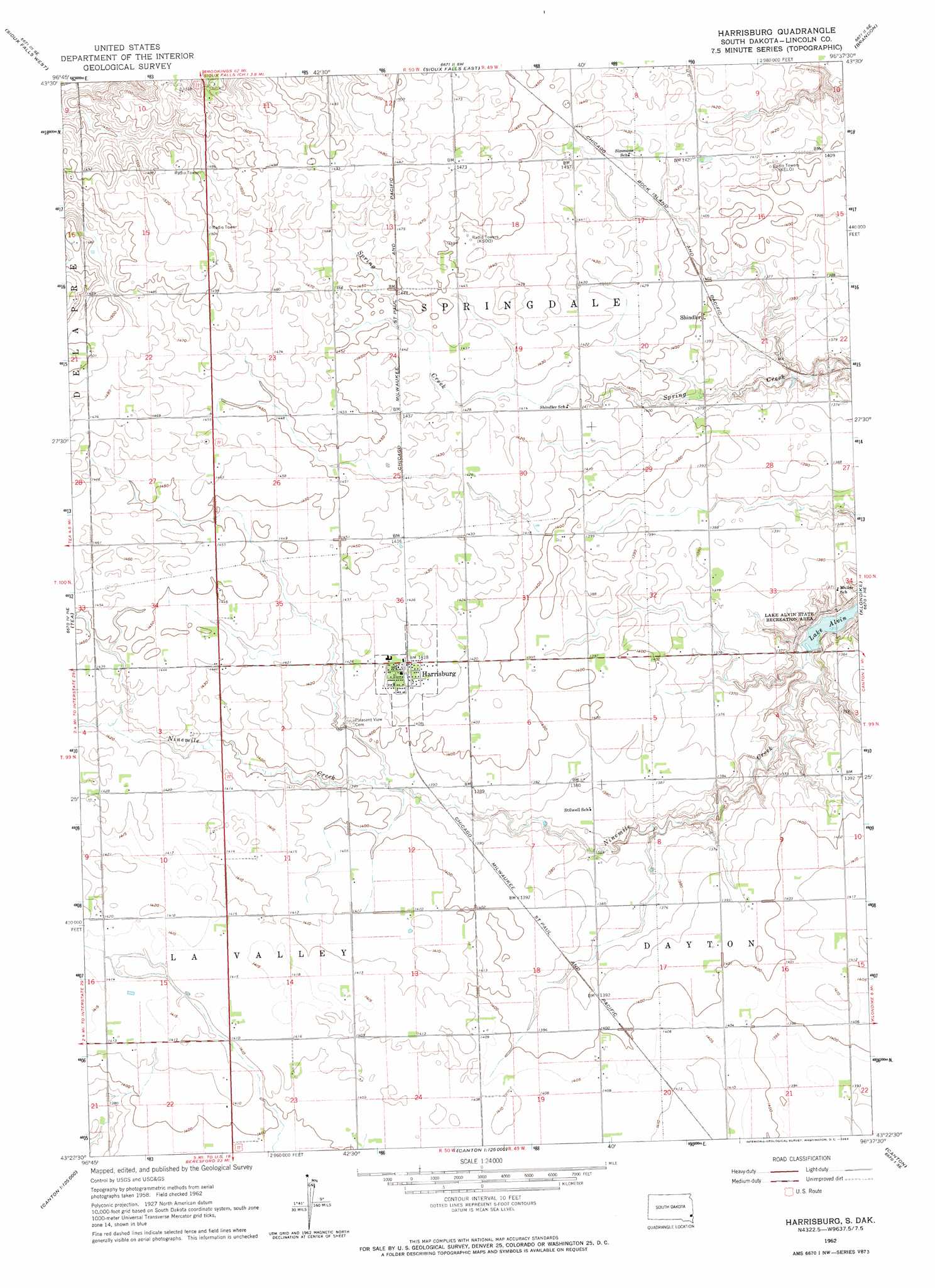
USGS Topo Quad 43096d6 - 1:24,000 scale
| Topo Map Name: | Harrisburg |
| USGS Topo Quad ID: | 43096d6 |
| Print Size: | ca. 21 1/4" wide x 27" high |
| Southeast Coordinates: | 43.375° N latitude / 96.625° W longitude |
| Map Center Coordinates: | 43.4375° N latitude / 96.6875° W longitude |
| U.S. State: | SD |
| Filename: | o43096d6.jpg |
| Download Map JPG Image: | Harrisburg topo map 1:24,000 scale |
| Map Type: | Topographic |
| Topo Series: | 7.5´ |
| Map Scale: | 1:24,000 |
| Source of Map Images: | United States Geological Survey (USGS) |
| Alternate Map Versions: |
Harrisburg SD 1962, updated 1964 Download PDF Buy paper map Harrisburg SD 2012 Download PDF Buy paper map Harrisburg SD 2015 Download PDF Buy paper map |
1:24,000 Topo Quads surrounding Harrisburg
Hartford North |
Crooks |
Renner |
Garretson West |
Garretson East |
Hartford South |
Sioux Falls West |
Sioux Falls East |
Brandon |
Valley Springs |
Lennox Nw |
Tea |
Harrisburg |
Klondike |
Larchwood |
Lennox |
Worthing |
Canton Sw |
Canton |
Inwood |
Beresford Nw |
Beresford Ne |
Alcester Nw |
Alcester Ne |
Fairview |
> Back to 43096a1 at 1:100,000 scale
> Back to 43096a1 at 1:250,000 scale
> Back to U.S. Topo Maps home
Harrisburg topo map: Gazetteer
Harrisburg: Populated Places
Harrisburg elevation 435m 1427′Shindler elevation 428m 1404′
Harrisburg digital topo map on disk
Buy this Harrisburg topo map showing relief, roads, GPS coordinates and other geographical features, as a high-resolution digital map file on DVD:
Eastern North Dakota & Eastern South Dakota
Buy digital topo maps: Eastern North Dakota & Eastern South Dakota