Tschetter Colony Topo Map South Dakota
To zoom in, hover over the map of Tschetter Colony
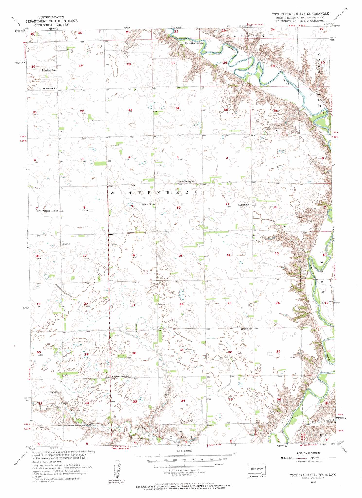
USGS Topo Quad 43097c6 - 1:24,000 scale
| Topo Map Name: | Tschetter Colony |
| USGS Topo Quad ID: | 43097c6 |
| Print Size: | ca. 21 1/4" wide x 27" high |
| Southeast Coordinates: | 43.25° N latitude / 97.625° W longitude |
| Map Center Coordinates: | 43.3125° N latitude / 97.6875° W longitude |
| U.S. State: | SD |
| Filename: | o43097c6.jpg |
| Download Map JPG Image: | Tschetter Colony topo map 1:24,000 scale |
| Map Type: | Topographic |
| Topo Series: | 7.5´ |
| Map Scale: | 1:24,000 |
| Source of Map Images: | United States Geological Survey (USGS) |
| Alternate Map Versions: |
Tschetter Colony SD 1957, updated 1958 Download PDF Buy paper map Tschetter Colony SD 2012 Download PDF Buy paper map Tschetter Colony SD 2015 Download PDF Buy paper map |
1:24,000 Topo Quads surrounding Tschetter Colony
Ethan |
Rockport Colony |
Spencer Sw |
Bridgewater West |
Bridgewater East |
Parkston |
Milltown |
Clayton |
Clayton Ne |
Dolton |
Beardsley |
Parkston Se |
Tschetter Colony |
Wolf Creek |
Freeman |
Tripp |
Kaylor |
Scotland |
Menno |
Midway |
Haucks Lake |
Tripp Se |
Kloucek Lake |
Lesterville |
Jamesville |
> Back to 43097a1 at 1:100,000 scale
> Back to 43096a1 at 1:250,000 scale
> Back to U.S. Topo Maps home
Tschetter Colony topo map: Gazetteer
Tschetter Colony: Populated Places
Tschetter Colony elevation 366m 1200′Tschetter Colony: Post Offices
Wittenberg Post Office (historical) elevation 404m 1325′Tschetter Colony: Streams
Furlong Creek elevation 360m 1181′Wolf Creek elevation 360m 1181′
Tschetter Colony digital topo map on disk
Buy this Tschetter Colony topo map showing relief, roads, GPS coordinates and other geographical features, as a high-resolution digital map file on DVD:
Eastern North Dakota & Eastern South Dakota
Buy digital topo maps: Eastern North Dakota & Eastern South Dakota