Isham Lake Topo Map South Dakota
To zoom in, hover over the map of Isham Lake
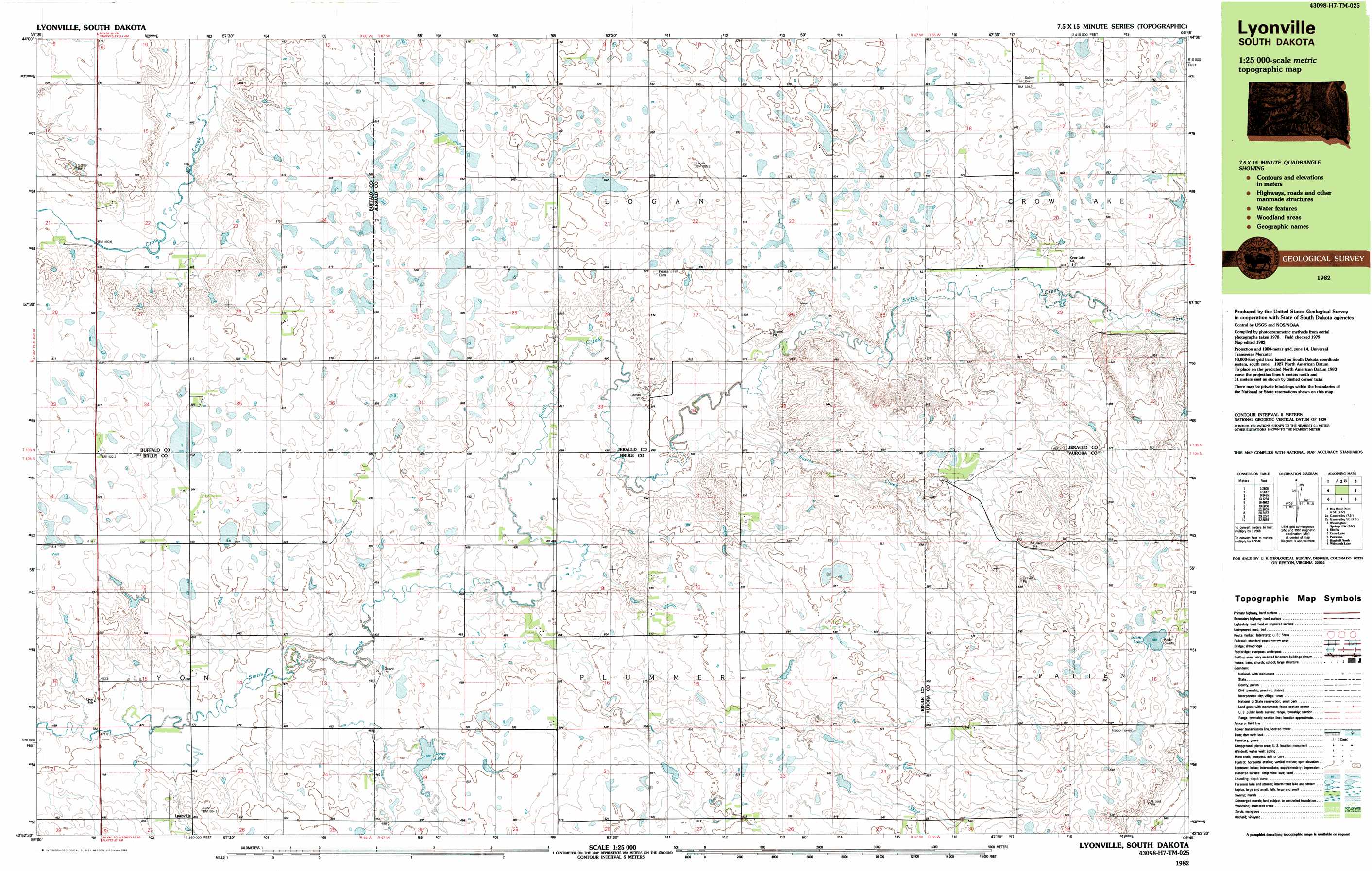
USGS Topo Quad 43098h7 - 1:25,000 scale
| Topo Map Name: | Isham Lake |
| USGS Topo Quad ID: | 43098h7 |
| Print Size: | ca. 39" wide x 24" high |
| Southeast Coordinates: | 43.875° N latitude / 98.75° W longitude |
| Map Center Coordinates: | 43.9375° N latitude / 98.875° W longitude |
| U.S. State: | SD |
| Filename: | k43098h7.jpg |
| Download Map JPG Image: | Isham Lake topo map 1:25,000 scale |
| Map Type: | Topographic |
| Topo Series: | 7.5´x15´ |
| Map Scale: | 1:25,000 |
| Source of Map Images: | United States Geological Survey (USGS) |
| Alternate Map Versions: |
Lyonville SD 1982, updated 1983 Download PDF Buy paper map |
1:24,000 Topo Quads surrounding Isham Lake
Big Bend Dam 4 Ne |
Mittelstedt Slough |
Cottonwood Lake |
Wessington Springs Nw |
Wessington Springs Ne |
Big Bend Dam 4 Se |
Gannvalley |
Gannvalley Se |
Wessington Springs Sw |
Wessington Springs |
Pukwana Ne |
Isham Lake |
Hoagland Lake |
||
Pukwana Se |
Wilson Dam |
Wilmarth Lake |
||
Bijou Hills Ne |
Kimball South |
Platte Lake |
White Lake |
Crystal Lake |
> Back to 43098e1 at 1:100,000 scale
> Back to 43098a1 at 1:250,000 scale
> Back to U.S. Topo Maps home
Isham Lake topo map: Gazetteer
Isham Lake: Dams
Fuegan Brothers Dam elevation 504m 1653′Jones Lake Dam elevation 490m 1607′
Isham Lake: Lakes
Isham Lake elevation 592m 1942′Isham Lake: Populated Places
Lyonville elevation 488m 1601′Isham Lake: Reservoirs
Jones Lake elevation 490m 1607′Isham Lake: Streams
East Fork Smith Creek elevation 517m 1696′Sayles Creek elevation 500m 1640′
Isham Lake digital topo map on disk
Buy this Isham Lake topo map showing relief, roads, GPS coordinates and other geographical features, as a high-resolution digital map file on DVD:
Eastern North Dakota & Eastern South Dakota
Buy digital topo maps: Eastern North Dakota & Eastern South Dakota