Badnation Nw Topo Map South Dakota
To zoom in, hover over the map of Badnation Nw
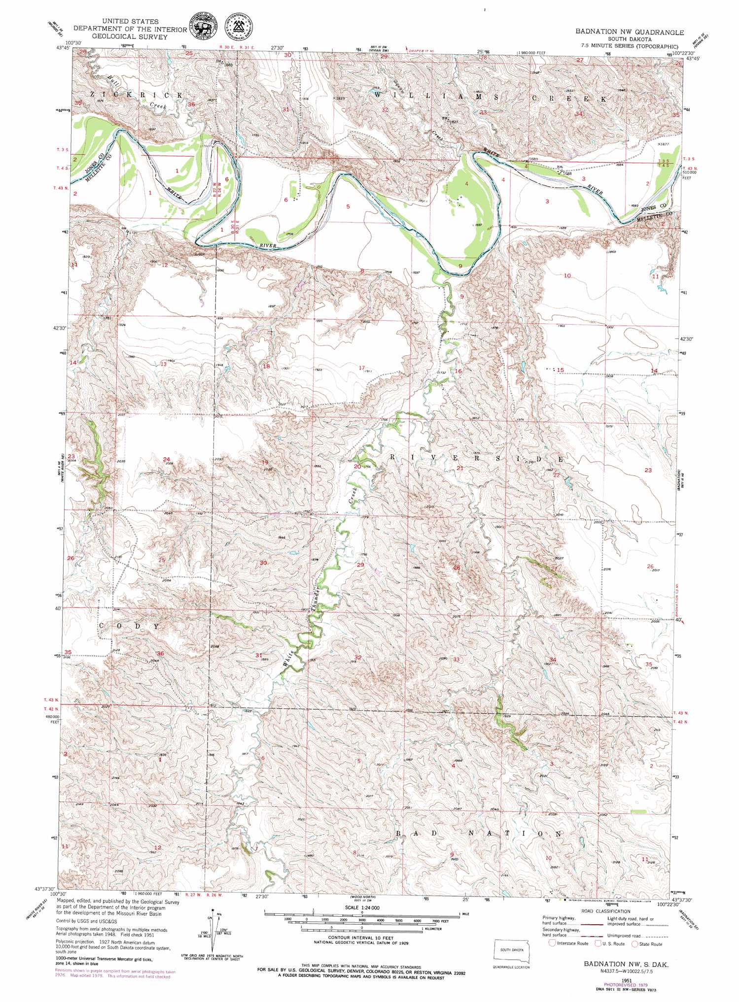
USGS Topo Quad 43100f4 - 1:24,000 scale
| Topo Map Name: | Badnation Nw |
| USGS Topo Quad ID: | 43100f4 |
| Print Size: | ca. 21 1/4" wide x 27" high |
| Southeast Coordinates: | 43.625° N latitude / 100.375° W longitude |
| Map Center Coordinates: | 43.6875° N latitude / 100.4375° W longitude |
| U.S. State: | SD |
| Filename: | o43100f4.jpg |
| Download Map JPG Image: | Badnation Nw topo map 1:24,000 scale |
| Map Type: | Topographic |
| Topo Series: | 7.5´ |
| Map Scale: | 1:24,000 |
| Source of Map Images: | United States Geological Survey (USGS) |
| Alternate Map Versions: |
Badnation NW SD 1951, updated 1953 Download PDF Buy paper map Badnation NW SD 1951, updated 1979 Download PDF Buy paper map Badnation NW SD 2012 Download PDF Buy paper map Badnation NW SD 2015 Download PDF Buy paper map |
1:24,000 Topo Quads surrounding Badnation Nw
Murdo |
Draper |
Vivian Nw |
Vivian |
Presho Nw |
Murdo Sw |
Murdo Se |
Vivian Sw |
Vivian Se |
Presho Sw |
Westover |
White River Ne |
Badnation Nw |
Badnation |
Presho 4 Nw |
White River East |
White River Se |
Wood North |
Badnation Se |
Two Nation Creek |
Mission Nw |
Mission Ne |
Wood South |
Mosher |
Carter |
> Back to 43100e1 at 1:100,000 scale
> Back to 43100a1 at 1:250,000 scale
> Back to U.S. Topo Maps home
Badnation Nw topo map: Gazetteer
Badnation Nw: Airports
Valburg Ranch Landing Strip elevation 515m 1689′Badnation Nw: Dams
Bettcher Number 1 Dam elevation 580m 1902′Okobojo Dam elevation 626m 2053′
Van Collins Number 2 Dam elevation 616m 2020′
Badnation Nw: Streams
Bull Creek elevation 520m 1706′Pitan Creek elevation 511m 1676′
White Thunder Creek elevation 516m 1692′
Badnation Nw digital topo map on disk
Buy this Badnation Nw topo map showing relief, roads, GPS coordinates and other geographical features, as a high-resolution digital map file on DVD:
Eastern North Dakota & Eastern South Dakota
Buy digital topo maps: Eastern North Dakota & Eastern South Dakota