Pass Creek Nw Topo Map South Dakota
To zoom in, hover over the map of Pass Creek Nw
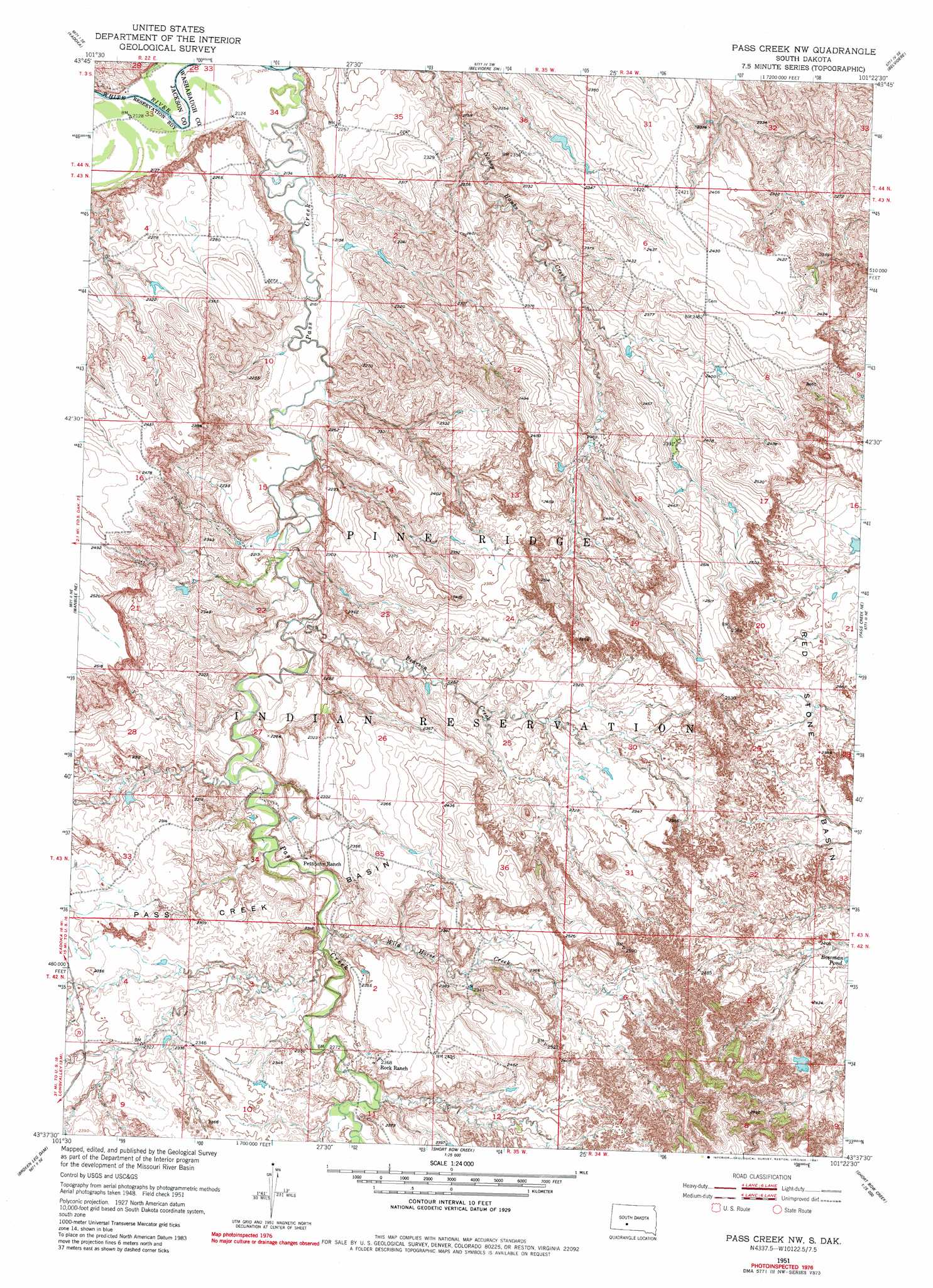
USGS Topo Quad 43101f4 - 1:24,000 scale
| Topo Map Name: | Pass Creek Nw |
| USGS Topo Quad ID: | 43101f4 |
| Print Size: | ca. 21 1/4" wide x 27" high |
| Southeast Coordinates: | 43.625° N latitude / 101.375° W longitude |
| Map Center Coordinates: | 43.6875° N latitude / 101.4375° W longitude |
| U.S. State: | SD |
| Filename: | o43101f4.jpg |
| Download Map JPG Image: | Pass Creek Nw topo map 1:24,000 scale |
| Map Type: | Topographic |
| Topo Series: | 7.5´ |
| Map Scale: | 1:24,000 |
| Source of Map Images: | United States Geological Survey (USGS) |
| Alternate Map Versions: |
Pass Creek NW SD 1951, updated 1952 Download PDF Buy paper map Pass Creek NW SD 1951, updated 1981 Download PDF Buy paper map Pass Creek NW SD 2012 Download PDF Buy paper map Pass Creek NW SD 2015 Download PDF Buy paper map |
1:24,000 Topo Quads surrounding Pass Creek Nw
Philip Junction |
Kadoka Ne |
Belvidere Nw |
Belvidere Ne |
Stamford Nw |
Weta |
Kadoka |
Belvidere Sw |
Belvidere |
Stamford Sw |
Wanblee Nw |
Wanblee Ne |
Pass Creek Nw |
Pass Creek Ne |
Cedar Butte Nw |
Wanblee |
Broken Leg Dam |
Short Bow Creek East |
||
Buzzard Butte |
Long Valley Nw |
Norris |
> Back to 43101e1 at 1:100,000 scale
> Back to 43100a1 at 1:250,000 scale
> Back to U.S. Topo Maps home
Pass Creek Nw topo map: Gazetteer
Pass Creek Nw: Lakes
Bowman Pond elevation 730m 2395′Pass Creek Nw: Streams
Pass Creek elevation 644m 2112′Pearson Creek elevation 669m 2194′
Wild Horse Creek elevation 683m 2240′
Pass Creek Nw digital topo map on disk
Buy this Pass Creek Nw topo map showing relief, roads, GPS coordinates and other geographical features, as a high-resolution digital map file on DVD:
Eastern North Dakota & Eastern South Dakota
Buy digital topo maps: Eastern North Dakota & Eastern South Dakota