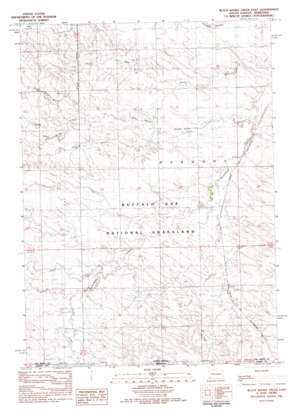
Black Banks Creek East Topo Map South Dakota
To zoom in, hover over the map of Black Banks Creek East
USGS Topo Quad 43103a3 - 1:25,000 scale
| Topo Map Name: | Black Banks Creek East |
| USGS Topo Quad ID: | 43103a3 |
| Print Size: | ca. 21 1/4" wide x 27" high |
| Southeast Coordinates: | 43° N latitude / 103.25° W longitude |
| Map Center Coordinates: | 43.0625° N latitude / 103.3125° W longitude |
| U.S. States: | SD, NE |
| Filename: | l43103a3.jpg |
| Download Map JPG Image: | Black Banks Creek East topo map 1:25,000 scale |
| Map Type: | Topographic |
| Topo Series: | 7.5´ |
| Map Scale: | 1:25,000 |
| Source of Map Images: | United States Geological Survey (USGS) |
| Alternate Map Versions: | |
| FStopo: | US Forest Service topo Black Banks Creek East is available: Download FStopo PDF Download FStopo TIF |
1:24,000 Topo Quads surrounding Black Banks Creek East
> Back to 43103a1 at 1:100,000 scale
> Back to 43102a1 at 1:250,000 scale
> Back to U.S. Topo Maps home
Black Banks Creek East topo map: Gazetteer
Black Banks Creek East: Airports
Bogner Field elevation 1114m 3654′Black Banks Creek East: Dams
E E Pettegrew Dam elevation 1084m 3556′E E Pettegrew Dam Number 2 elevation 1067m 3500′
Pettigrew Dam elevation 1079m 3540′
Pettigrew Pond Number 2 Dam elevation 1071m 3513′
Reaser Stock Dam elevation 1077m 3533′
Romey Irrigation Dam elevation 1069m 3507′
Black Banks Creek East: Streams
Black Banks Creek elevation 1051m 3448′Duck Creek elevation 1070m 3510′
North Black Banks Creek elevation 1066m 3497′
South Black Banks Creek elevation 1068m 3503′
Black Banks Creek East digital topo map on disk
Buy this Black Banks Creek East topo map showing relief, roads, GPS coordinates and other geographical features, as a high-resolution digital map file on DVD:
Eastern Wyoming & Western South Dakota
Buy digital topo maps: Eastern Wyoming & Western South Dakota


