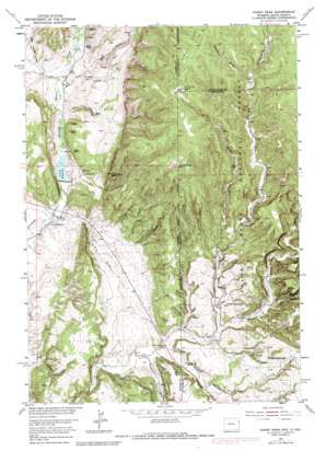
Fanny Peak Topo Map Wyoming
To zoom in, hover over the map of Fanny Peak
USGS Topo Quad 43104g1 - 1:24,000 scale
| Topo Map Name: | Fanny Peak |
| USGS Topo Quad ID: | 43104g1 |
| Print Size: | ca. 21 1/4" wide x 27" high |
| Southeast Coordinates: | 43.75° N latitude / 104° W longitude |
| Map Center Coordinates: | 43.8125° N latitude / 104.0625° W longitude |
| U.S. States: | WY, SD |
| Filename: | o43104g1.jpg |
| Download Map JPG Image: | Fanny Peak topo map 1:24,000 scale |
| Map Type: | Topographic |
| Topo Series: | 7.5´ |
| Map Scale: | 1:24,000 |
| Source of Map Images: | United States Geological Survey (USGS) |
| Alternate Map Versions: |
Fanny Peak WY 1951, updated 1953 Download PDF Buy paper map Fanny Peak WY 1951, updated 1975 Download PDF Buy paper map Fanny Peak WY 1951, updated 1979 Download PDF Buy paper map Fanny Peak WY 1951, updated 1979 Download PDF Buy paper map Fanny Peak WY 2012 Download PDF Buy paper map Fanny Peak WY 2015 Download PDF Buy paper map |
| FStopo: | US Forest Service topo Fanny Peak is available: Download FStopo PDF Download FStopo TIF |
1:24,000 Topo Quads surrounding Fanny Peak
> Back to 43104e1 at 1:100,000 scale
> Back to 43104a1 at 1:250,000 scale
> Back to U.S. Topo Maps home
Fanny Peak topo map: Gazetteer
Fanny Peak: Dams
Spencer Dam elevation 1334m 4376′Fanny Peak: Mines
Lak Reservoir Area Number One Mine elevation 1460m 4790′Lak Reservoir Area Number Three Mine elevation 1445m 4740′
O'Neil Pit elevation 1366m 4481′
Raby Pit elevation 1384m 4540′
Sheldon Canyon Mine elevation 1723m 5652′
Sweet Gravel Pit elevation 1379m 4524′
Fanny Peak: Reservoirs
L A K Reservoir elevation 1335m 4379′Spencer Reservoir elevation 1334m 4376′
Fanny Peak: Ridges
Summit Ridge elevation 1839m 6033′Fanny Peak: Springs
Pease Spring elevation 1453m 4767′Roby Spring elevation 1613m 5291′
Side Camp Spring elevation 1468m 4816′
Fanny Peak: Streams
Rats Valley Creek elevation 1358m 4455′Fanny Peak: Summits
Fanny Peak elevation 1776m 5826′Frannie Peak elevation 1620m 5314′
Fanny Peak: Valleys
Boles Canyon elevation 1392m 4566′Cedar Draw elevation 1353m 4438′
Fawcett Draw elevation 1268m 4160′
Ferguson Canyon elevation 1350m 4429′
Gettys Canyon elevation 1433m 4701′
Gillette Canyon elevation 1354m 4442′
Gillette Canyon elevation 1353m 4438′
L A K Draw elevation 1315m 4314′
Meadow Draw elevation 1678m 5505′
Redbird Canyon elevation 1392m 4566′
Roby Canyon elevation 1456m 4776′
Scott Canyon elevation 1348m 4422′
Sheldon Canyon elevation 1387m 4550′
South Draw elevation 1360m 4461′
Fanny Peak digital topo map on disk
Buy this Fanny Peak topo map showing relief, roads, GPS coordinates and other geographical features, as a high-resolution digital map file on DVD:
Eastern Wyoming & Western South Dakota
Buy digital topo maps: Eastern Wyoming & Western South Dakota


