Coal Draw North Topo Map Wyoming
To zoom in, hover over the map of Coal Draw North
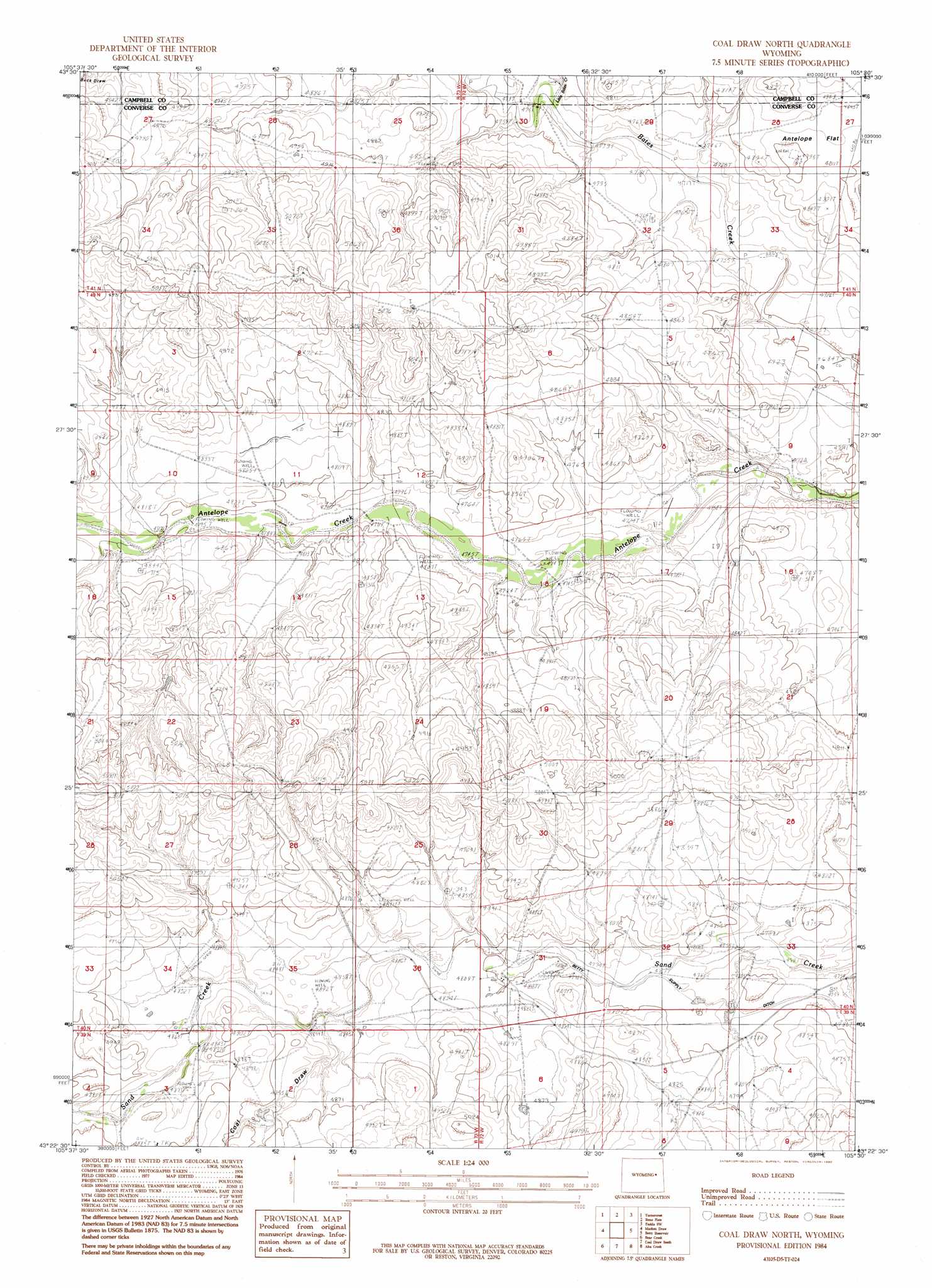
USGS Topo Quad 43105d5 - 1:24,000 scale
| Topo Map Name: | Coal Draw North |
| USGS Topo Quad ID: | 43105d5 |
| Print Size: | ca. 21 1/4" wide x 27" high |
| Southeast Coordinates: | 43.375° N latitude / 105.5° W longitude |
| Map Center Coordinates: | 43.4375° N latitude / 105.5625° W longitude |
| U.S. State: | WY |
| Filename: | o43105d5.jpg |
| Download Map JPG Image: | Coal Draw North topo map 1:24,000 scale |
| Map Type: | Topographic |
| Topo Series: | 7.5´ |
| Map Scale: | 1:24,000 |
| Source of Map Images: | United States Geological Survey (USGS) |
| Alternate Map Versions: |
Coal Draw North WY 1984, updated 1984 Download PDF Buy paper map Coal Draw North WY 1984, updated 1992 Download PDF Buy paper map Coal Draw North WY 2012 Download PDF Buy paper map Coal Draw North WY 2015 Download PDF Buy paper map |
| FStopo: | US Forest Service topo Coal Draw North is available: Download FStopo PDF Download FStopo TIF |
1:24,000 Topo Quads surrounding Coal Draw North
South Butte |
Baker Spring |
Rattlesnake Draw |
Little Thunder Reservoir |
Reno Reservoir |
Pine Tree |
Turnercrest |
Reno Flats |
Teckla Sw |
Teckla |
Ross Flat |
Macken Draw |
Coal Draw North |
Betty Reservoir |
Dugout Creek North |
Thompson Draw |
Bear Creek |
Coal Draw South |
Alta Creek |
Dugout Creek South |
South Fork Reservoir |
Suicide Hill |
Red Hill |
Patsy Draw |
Bill |
> Back to 43105a1 at 1:100,000 scale
> Back to 43104a1 at 1:250,000 scale
> Back to U.S. Topo Maps home
Coal Draw North topo map: Gazetteer
Coal Draw North: Airports
Dilts Ranch Airport elevation 1461m 4793′Coal Draw North: Canals
Betty Supply Ditch elevation 1459m 4786′Coal Draw North: Streams
Little Bates Creek elevation 1448m 4750′Coal Draw North: Valleys
Coal Draw elevation 1471m 4826′Coal Draw North digital topo map on disk
Buy this Coal Draw North topo map showing relief, roads, GPS coordinates and other geographical features, as a high-resolution digital map file on DVD:
Eastern Wyoming & Western South Dakota
Buy digital topo maps: Eastern Wyoming & Western South Dakota