Monument Hill Topo Map Wyoming
To zoom in, hover over the map of Monument Hill
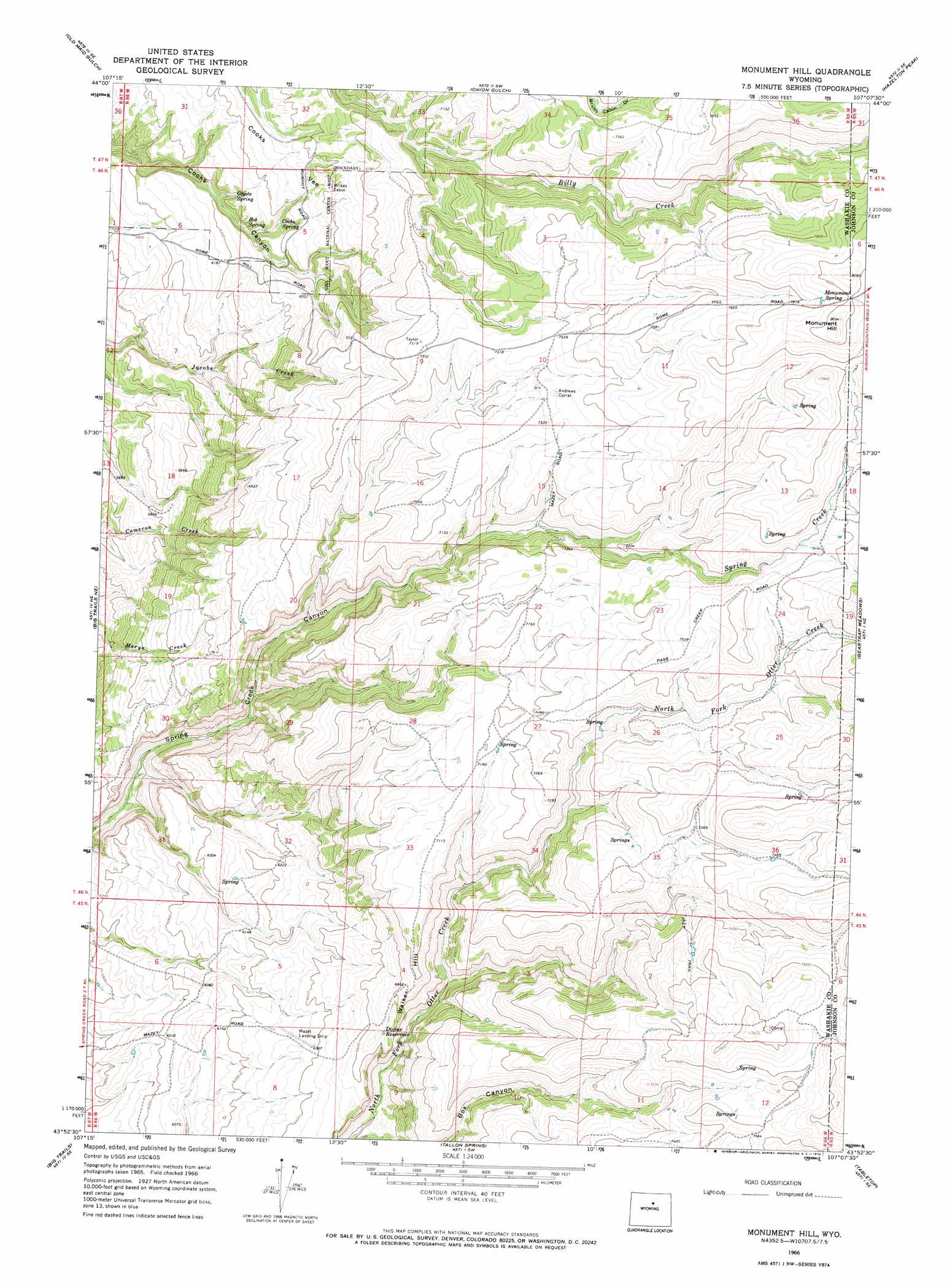
USGS Topo Quad 43107h2 - 1:24,000 scale
| Topo Map Name: | Monument Hill |
| USGS Topo Quad ID: | 43107h2 |
| Print Size: | ca. 21 1/4" wide x 27" high |
| Southeast Coordinates: | 43.875° N latitude / 107.125° W longitude |
| Map Center Coordinates: | 43.9375° N latitude / 107.1875° W longitude |
| U.S. State: | WY |
| Filename: | o43107h2.jpg |
| Download Map JPG Image: | Monument Hill topo map 1:24,000 scale |
| Map Type: | Topographic |
| Topo Series: | 7.5´ |
| Map Scale: | 1:24,000 |
| Source of Map Images: | United States Geological Survey (USGS) |
| Alternate Map Versions: |
Monument Hill WY 1966, updated 1970 Download PDF Buy paper map Monument Hill WY 2012 Download PDF Buy paper map Monument Hill WY 2015 Download PDF Buy paper map |
1:24,000 Topo Quads surrounding Monument Hill
Pierce Draw |
Brokenback Narrows |
Meadowlark Lake |
Powder River Pass |
Caribou Creek |
Ten Sleep |
Old Maid Gulch |
Onion Gulch |
Hazelton Peak |
Hazelton |
Joe Emge Creek |
Big Trails Ne |
Monument Hill |
Beartrap Meadows |
Packsaddle Canyon |
Indian Creek |
Big Trails |
Tallon Spring |
Tabletop |
Fraker Mountain |
Lightning Ridge |
Mahogany Butte |
Horse Butte |
Turk Springs |
Barnum |
> Back to 43107e1 at 1:100,000 scale
> Back to 43106a1 at 1:250,000 scale
> Back to U.S. Topo Maps home
Monument Hill topo map: Gazetteer
Monument Hill: Flats
Cooks Vee elevation 1955m 6414′Monument Hill: Reservoirs
Divine Reservoir elevation 2022m 6633′Monument Hill: Slopes
Walker Hill elevation 2111m 6925′Monument Hill: Springs
Bob Spring elevation 1915m 6282′Cooks Spring elevation 1914m 6279′
Coyote Spring elevation 1886m 6187′
Monument Spring elevation 2412m 7913′
Monument Hill: Summits
Monument Hill elevation 2461m 8074′Monument Hill digital topo map on disk
Buy this Monument Hill topo map showing relief, roads, GPS coordinates and other geographical features, as a high-resolution digital map file on DVD:
Eastern Wyoming & Western South Dakota
Buy digital topo maps: Eastern Wyoming & Western South Dakota